![Request for Information – Potential [Placeholder for Prize]](https://assets.science.nasa.gov/dynamicimage/assets/science/missions/a-step/FFR_Earth_Background_20251120%20.png?w=1024)


Landsat Topic
Filters

Using satellite data, researchers connected harmful algal blooms with warm water and low water levels at one of Colorado's largest…
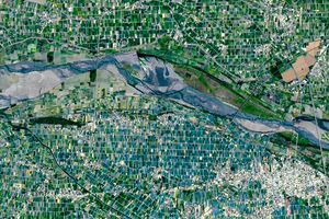
Diversity reigns across the farmland of Yunlin County in southwestern Taiwan—a region that produces an array of crops on small…
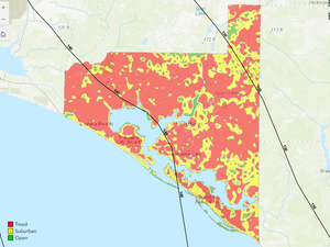
Landsat-based National Land Cover Database (NLCD) helps predict hurricane wind risk to homes and other structures.

The Landsat satellite program, with its unparalleled 53-year historic record, can reveal changes through the Annual National Land Cover Database…
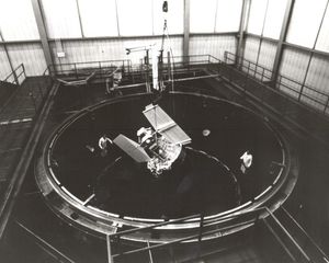
When the first Landsat satellite launched in 1972, it posed the following question: could we manage our natural resources using…

The Arctic is changing rapidly. Recent research unveiled a new dataset of 40 years of coastlines shifting across the Arctic.
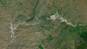
Between October 2023 and October 2024, the four dams of the Klamath Hydroelectric Project were taken down, opening more than…
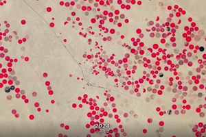
In this animation of 2024 and January 2025, crop fields in Saudi Arabia cycle through their growing seasons.

Using Landsat’s thermal imagery, researchers at Gallo Winery have been able to better understand vineyard water needs and optimize irrigation.