Aerosol: A collection of microscopic particles, solid or liquid, suspended in a gas. They drift in Earth’s atmosphere from the stratosphere to the surface and range in size from a few nanometers—less than the width of the smallest viruses—to several several tens of micrometers—about the diameter of human hair. Despite their small size, they have major impacts on climate and health.
Different specialists describe the particles based on shape, size, and chemical composition. Toxicologists refer to aerosols as ultrafine, fine, or coarse matter. Regulatory agencies, as well as meteorologists, typically call them particulate matter—PM2.5 or PM10, depending on their size. In some fields of engineering, they’re called nanoparticles. Everyday terms that hint at aerosol sources, such as smoke, ash, haze, dust, pollution, and soot are widely used as well.
Climatologists typically use another set of labels that speak to the chemical composition. Key aerosol groups include sulfates, organic carbon, black carbon, nitrates, mineral dust, and sea salt. In practice, many of these terms are imperfect, as aerosols often clump together to form complex mixtures. It’s common, for example, for particles of black carbon from soot or smoke to mix with nitrates and sulfates, or to coat the surfaces of dust, creating hybrid particles.
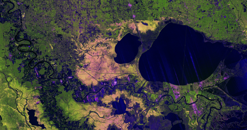
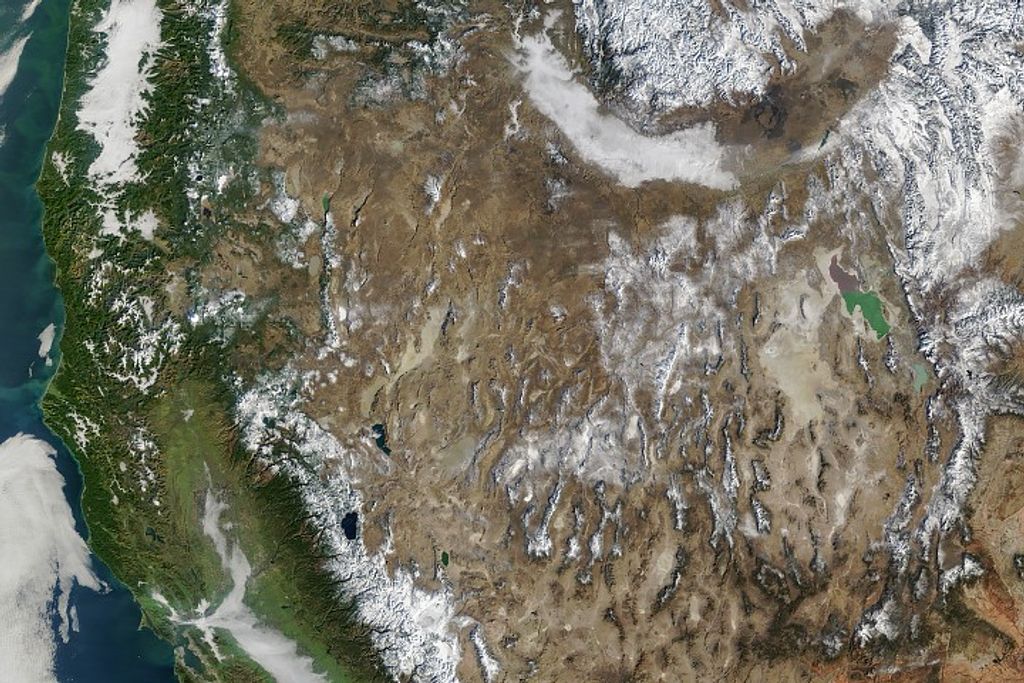
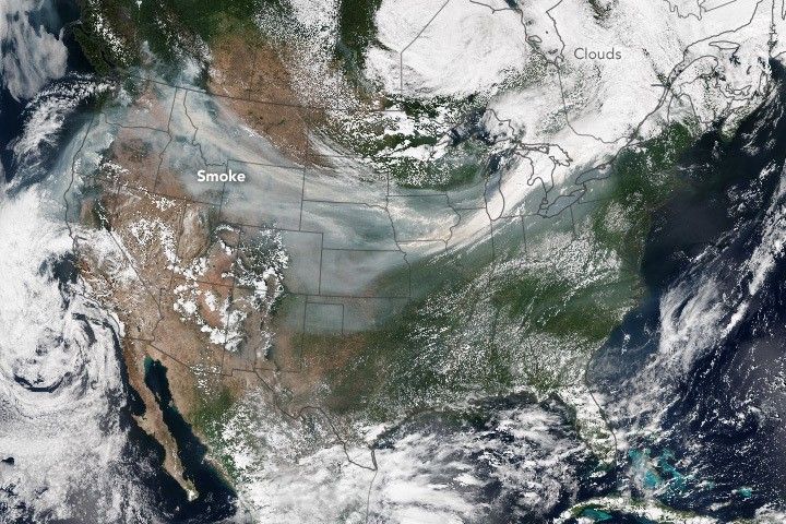
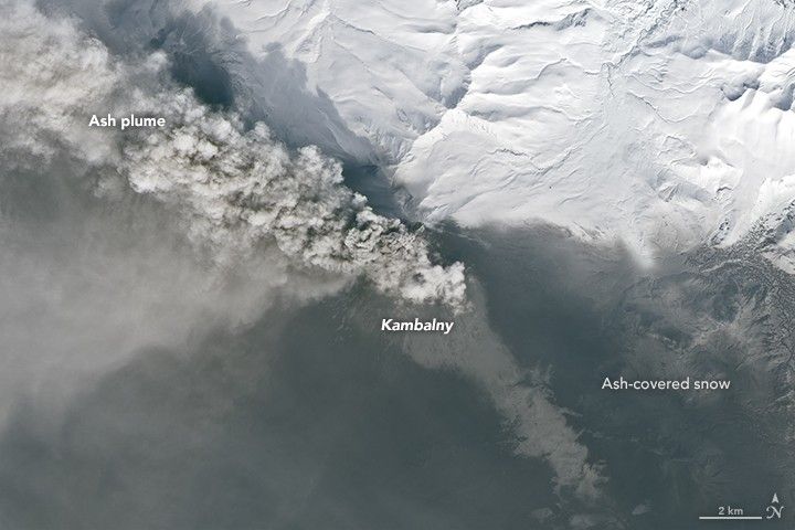
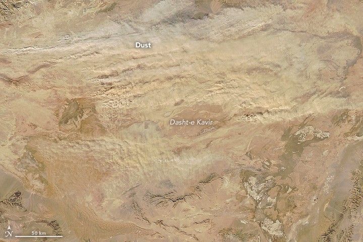
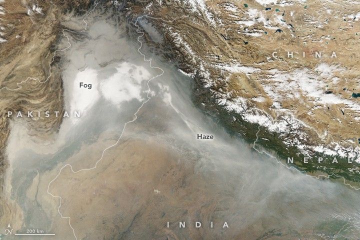
Satellite imagery of aerosols:
Aerosols in the news:
Air Quality Suffering in China, NASA Earth Observatory
Tracking Dust Across the Atlantic, NASA Earth Observatory
Where to learn more:
Tiny Particles, Big Impact
Aerosols as explained by the IPCC
Aerosols and Climate Change
Read the alphabet from space
About this glossary
There are other glossaries out there, but there aren’t many visual earth science glossaries, particularly those with a focus on satellite imagery. To fill that gap, Earth Matters is working on building its own. Have suggestions for what we should include? Comment on a post or send us an email.
This piece was originally published on NASA Earth Observatory's Earth Matters blog.

