Promoting GLOBE and Trees around the GLOBE Campaign at OhioView Geospatial Workshop
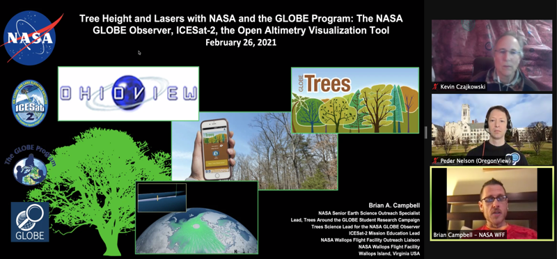
The University of Toledo participated in the OhioView Geospatial Virtual Workshop on February 26 with 52 participants. Kevin Czajkowski (University of Toledo), Brian Campbell (NASA Goddard Space Flight Center) and Peder Nelson (Oregon State University) presented about GLOBE, the GLOBE Observer App, the Trees around the GLOBE Campaign and land cover mapping. The data provides validation data for the ICE-SAT 2 satellite. Why study the heights of trees? Tree Height is an indicator of the ecosystem’s ability to grow trees and help researchers understand the gain or loss of biomass informing the gain or loss of carbon in the atmosphere.


