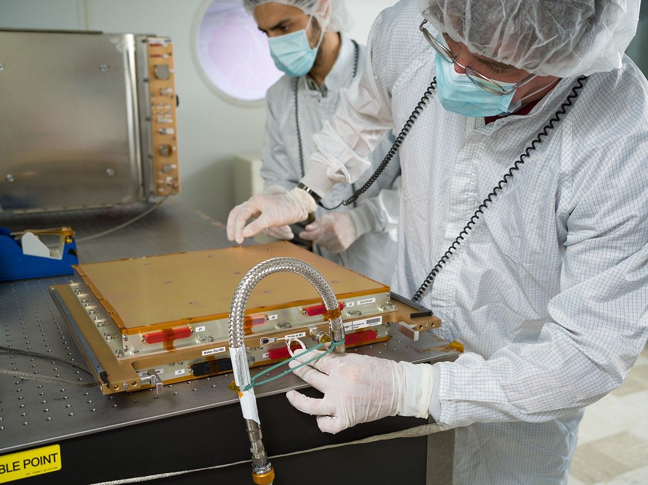


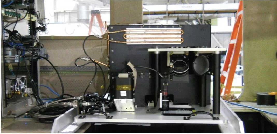
Technology Development: The Multi-Slit Optimized Spectrometer (MOS) prototype instrument is an airborne sensor designed to demonstrate and validate the multislit concept for hyperspectral ocean color retrievals with real-world scenes. The instrument design represents a new option for hyperspectral sensing: MOS multiplexes a scene by imaging from four slits at the same time. This method allows the MOS sensor to cover the field of regard four times faster than a single slit spectrometer, while achieving the same signal-to-noise ratio. This new technology enables faster revisit times compared to traditional spectrometer concepts—all with an instrument that is smaller and 3-4 times lighter than previous sensors. The technology used to develop MOS could dramatically reduce payload size and mission risk for a geostationary mission.
Impact: MOS was designed and developed to provide a small coastal imaging spectrometer that would meet the projected measurement requirements of the NASA GEOstationary Coastal and Air Pollution Events (GEOCAPE) mission concept. One objective of GEO-CAPE is to help scientists discern the dynamics of coastal ecosystems, river plumes, and tidal fronts. Coastal regions experience numerous effects from human activities— materials enter the ocean from the land and atmosphere, and a disproportionate amount of the world’s seafood is harvested from the coastal ocean regions. Technologies developed for MOS will enable a GEO-CAPE sensor that can accurately and quickly image these important coastal regions to help scientists understand and model the way these regions respond to phenomena such as storms, harmful algal blooms, hazardous spills, and flooding.
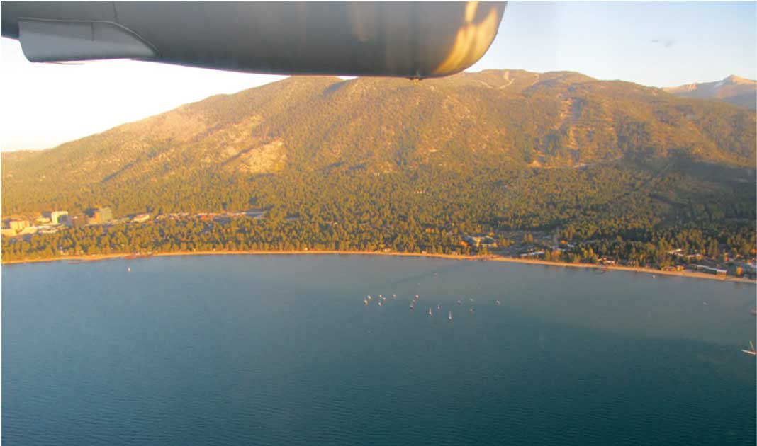
Status and Future Plans: MOS conducted a series of engineering flight tests in October 2014 onboard a Twin Otter aircraft. The flights, totaling up to 26 hours, were conducted over Lake Tahoe and the Sacramento and San Joaquin rivers and included some over-flights of in situ (boat-based) water quality measurements. Work on MOS concluded in August 2015, following extensive data analysis. Looking forward, the MOS project team hopes to add a polarimeter to the system to demonstrate simultaneous characterization of aerosols above coastal scenes.
Sponsoring Organization: The Earth Science Division sponsored development of MOS via the IIP. PI Tim Valle of Ball Aerospace and Technologies Corp. led the MOS development effort.