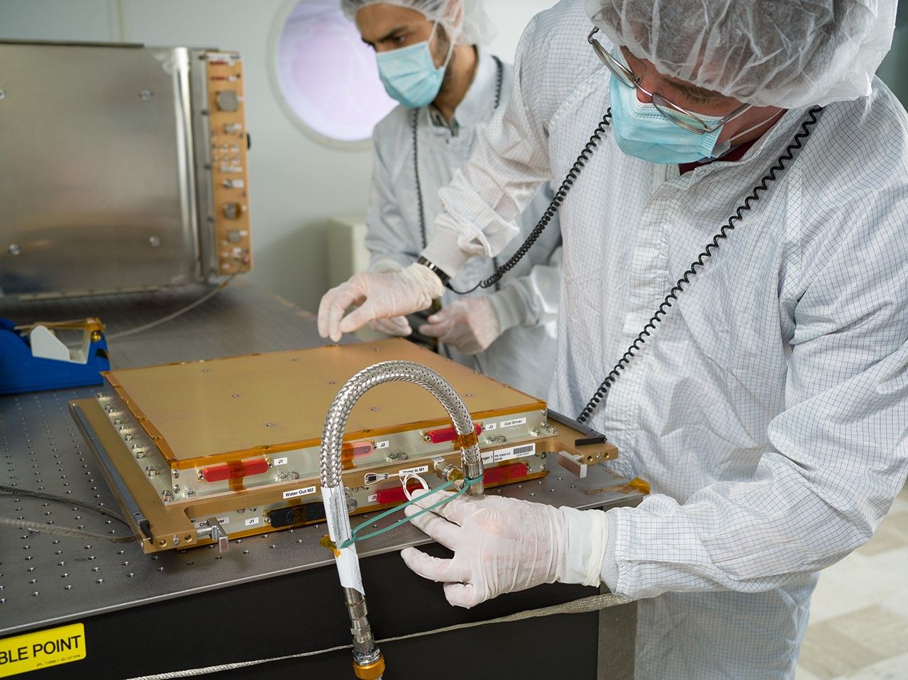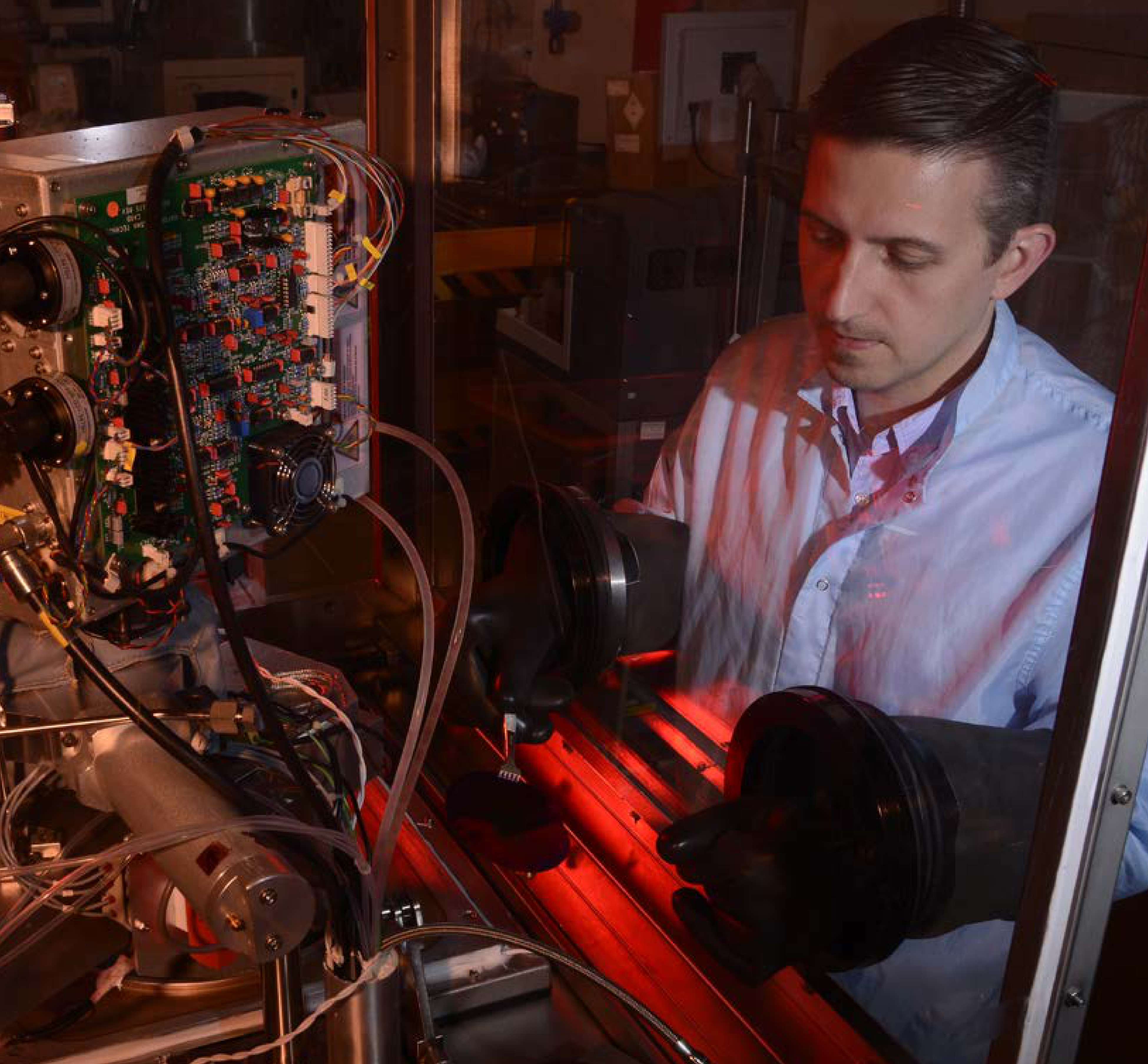


Technology Development
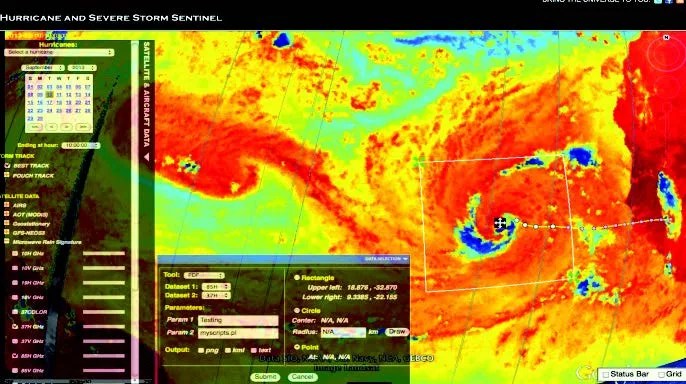
The Tropical Cyclone Information System (TCIS) is a tool that fuses hurricane models and observations within a web-based system to improve forecasting capabilities. TCIS provides scientists with the capability to overlay user-selected observational data on top of a variety of user-selected model predictions, and to perform online analysis of models and observations. TCIS required development of processing techniques to enable multi-source data fusion across hurricane forecast models, satellite data, and in situ sensors. The TCIS team also developed tools to manage the validation and assessment of model comparisons to more easily evaluate the performance of different numerical models. These online, interactive visualization techniques are ideal for analyzing highly complex systems like hurricanes.
Impact
By bringing together near real-time data and a 12-year global data archive within a visualization portal, TCIS is enabling research about hurricane processes, helping to validate and improve models, and assisting in algorithm and data assimilation techniques.
Status and Future Plans
In 2016, the TCIS team unveiled an updated portal that presents ocean vector winds from two scatterometer missions: NASA's Rapid Scatterometer on the International Space Station (ISSRapidScat) and the European Advanced SCATterometer (ASCAT). The updated system has been adopted by the RapidScat project for their analysis work. The TCIS team is also using the system to review wind and precipitation fields to investigate whether the rapid intensification seen during 2016’s Hurricane Matthew was predictable, based on satellite observations alone. In a previous study conducted in late 2015, products from TCIS were presented to personnel at the National Oceanic and Atmospheric Administration (NOAA) National Hurricane Center and the Hurricane Research Division (HRD) for use in analyzing Hurricane Joaquin. The output from a TCIS online analysis tool, developed in collaboration with HRD, suggested the potential for rapid intensification several hours before it happened.
Sponsoring Organization
The Earth Science Division sponsors development of TCIS via the AIST program. The PI is Svetla Hristova-Veleva at NASA JPL.
Read more Technology Stories