Sentinel-6B
Active Mission
Relive the Launch: Sentinel-6B
Observing oceans since 1992
Learn More About Sentinel-6B and Its Predecessors
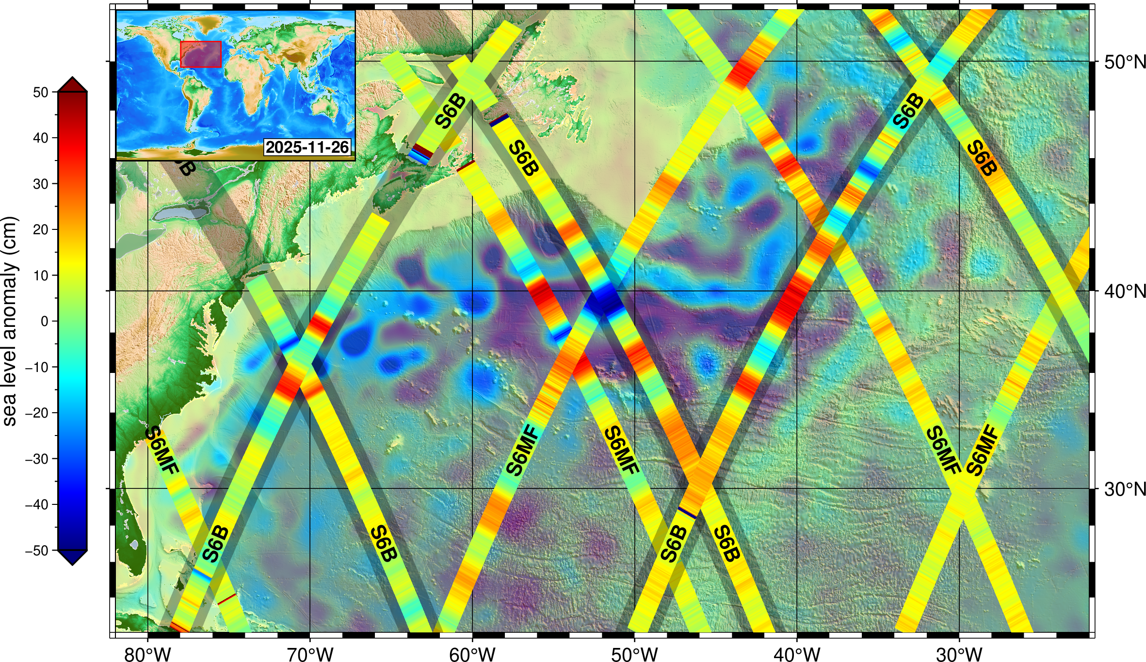
Visit the Jason-CS/Sentinel-6 program website and learn more about Sentinel-6B and its twin predecessor, Sentinel-6 Michael Freilich, which launched in November 2020 and was named in honor of the late director of NASA’s Earth Science Division.
Visit the program website for Jason-CS/Sentinel-6 — ‘Ocean Surface Topography from Space’
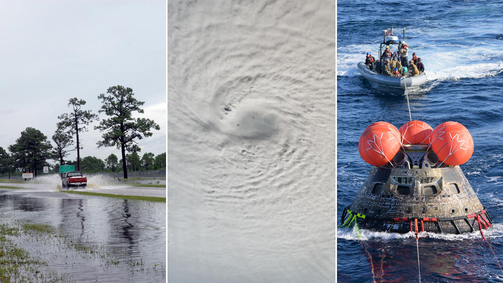
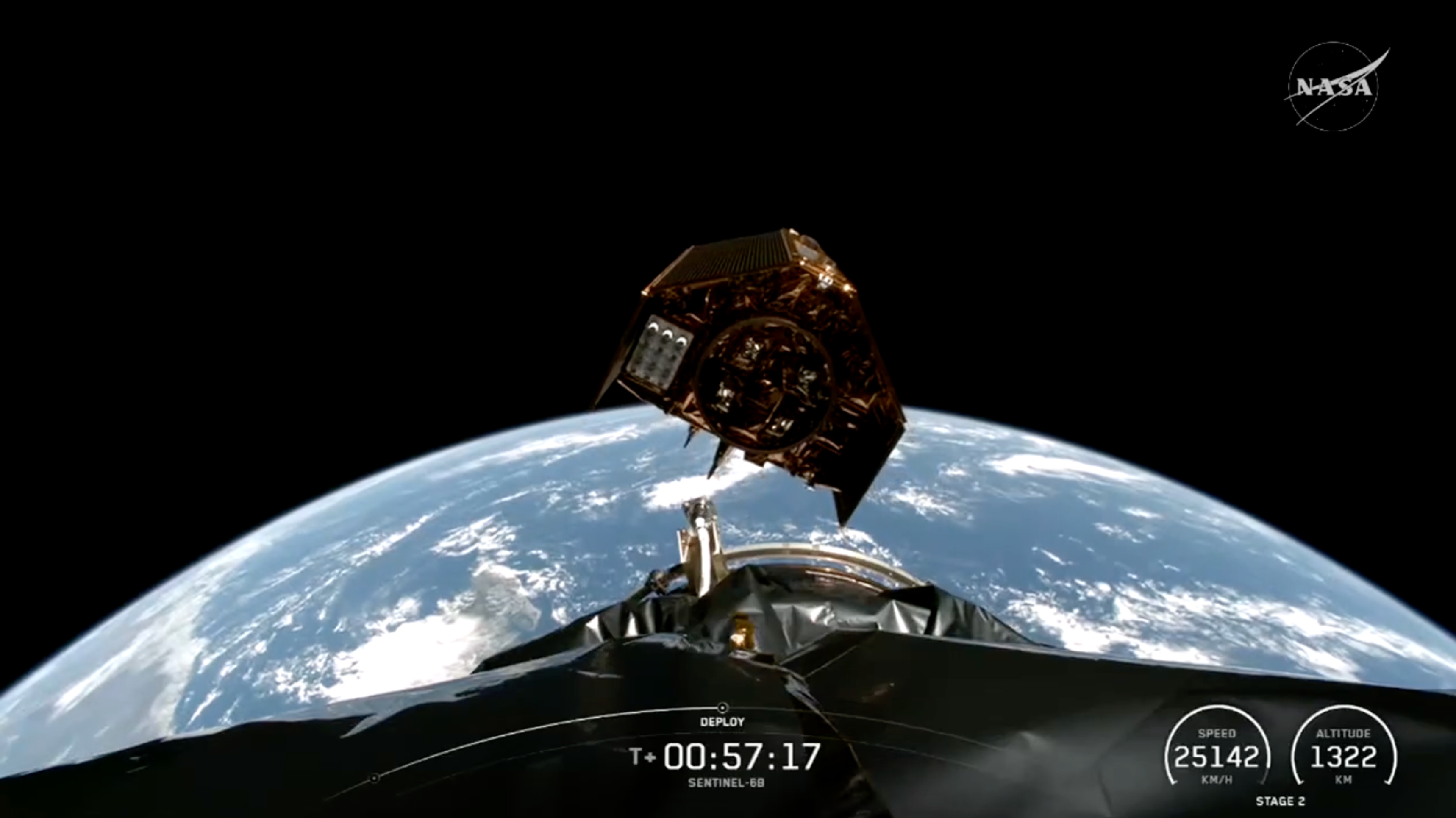
A SpaceX Falcon 9 rocket carrying the international Sentinel-6B spacecraft lifts off from Space Launch Complex 4 East at Vandenberg Space Force Base in California on Sunday, Nov. 16, 2025. A collaboration between NASA, ESA (European Space Agency), EUMETSAT (European Organisation for the Exploitation of Meteorological Satellites), and the National Oceanic and Atmospheric Administration (NOAA), Sentinel-6B is designed to measure sea levels down to roughly an inch for about 90% of the world’s oceans.
NASA
Featured Story
6 Things to Know From NASA About New US, European Sea Satellite
Data from Sentinel-6B will continue a decades-long record of sea surface height, helping to improve coastal planning, protect critical infrastructure,…
Read the Story