About
Sentinel-6B
The Mission
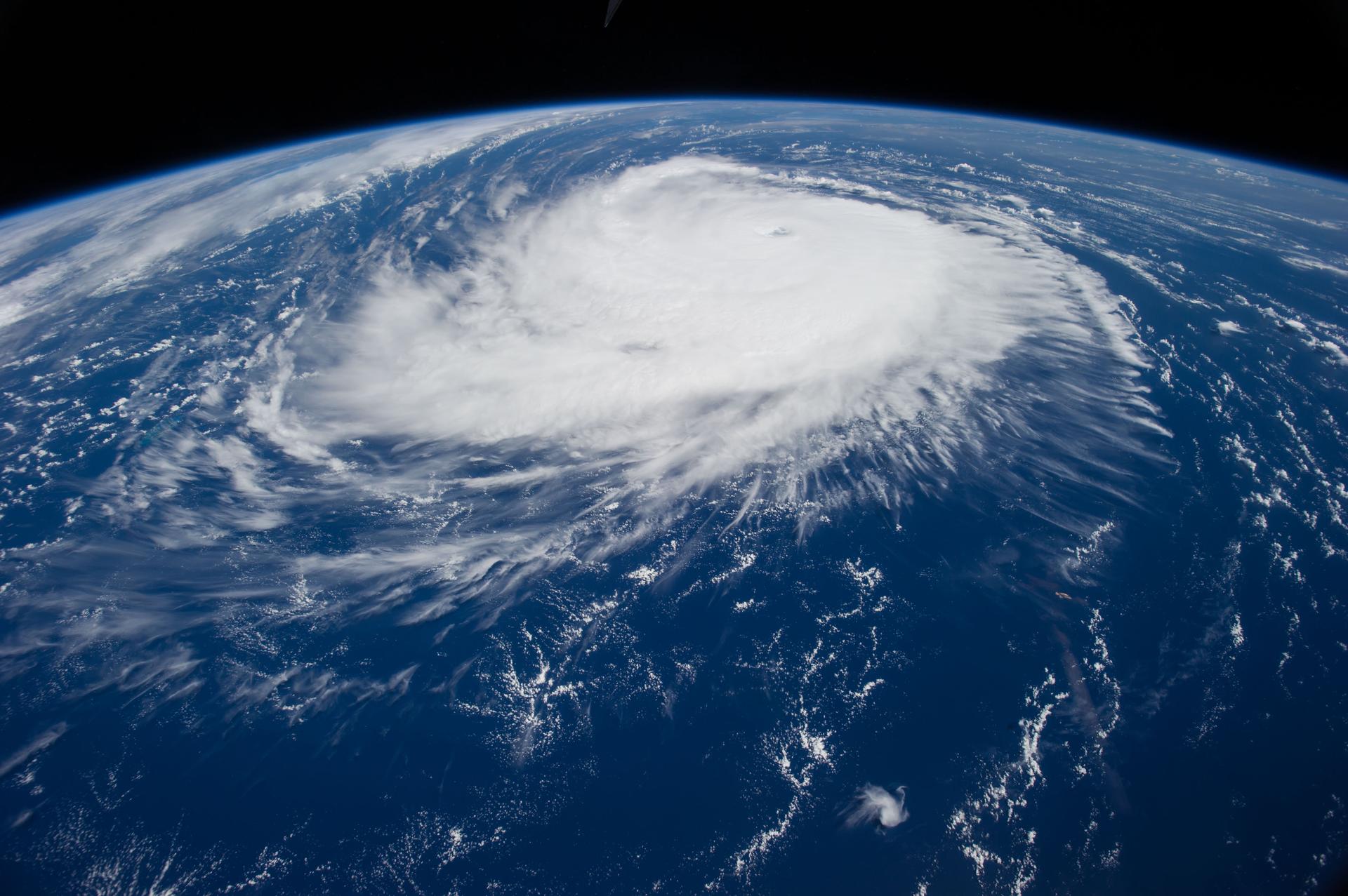
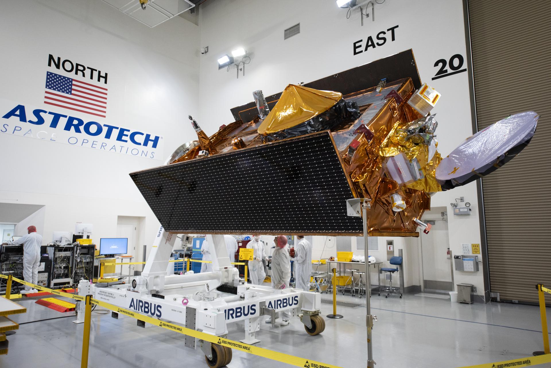
Sentinel-6B is an Earth-observing satellite jointly developed by NASA along with its U.S. and European partners. The satellite will observe Earth's global ocean, capturing sea level measurements to provide insights that will improve weather forecasts and flood predictions, safeguard public safety, benefit commercial industry, and protect coastal infrastructure.
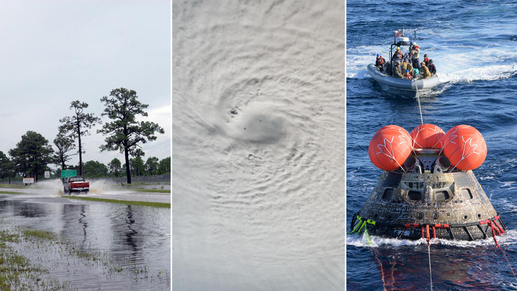
Sentinel-6B’s data will additionally be used to refine atmospheric forecast models used by NASA’s Engineering Safety Center to plan safer reentry of astronauts returning from Artemis missions.
Sentinel-6B will take over as the official reference satellite for global sea level measurements from its twin spacecraft, Sentinel-6 Michael Freilich, which launched in 2020. The two satellites make up the Copernicus Sentinel-6/Jason-CS (Continuity of Service) mission, which extends a long line of U.S.-European missions that have monitored sea levels since 1992.
Sentinel-6/Jason-CS is a collaboration between NASA, ESA (European Space Agency), EUMETSAT (European Organisation for the Exploitation of Meteorological Satellites), and the National Oceanic and Atmospheric Administration (NOAA), with funding support from the European Commission and technical support on performance from CNES (France’s National Centre for Space Studies).
NASA, Partners Share First Data From New US-European Sea Satellite
Launched in November, Sentinel-6B will track ocean height with ultraprecision to advance marine forecasting, national security, and more. Sentinel-6B, a…
Read the Story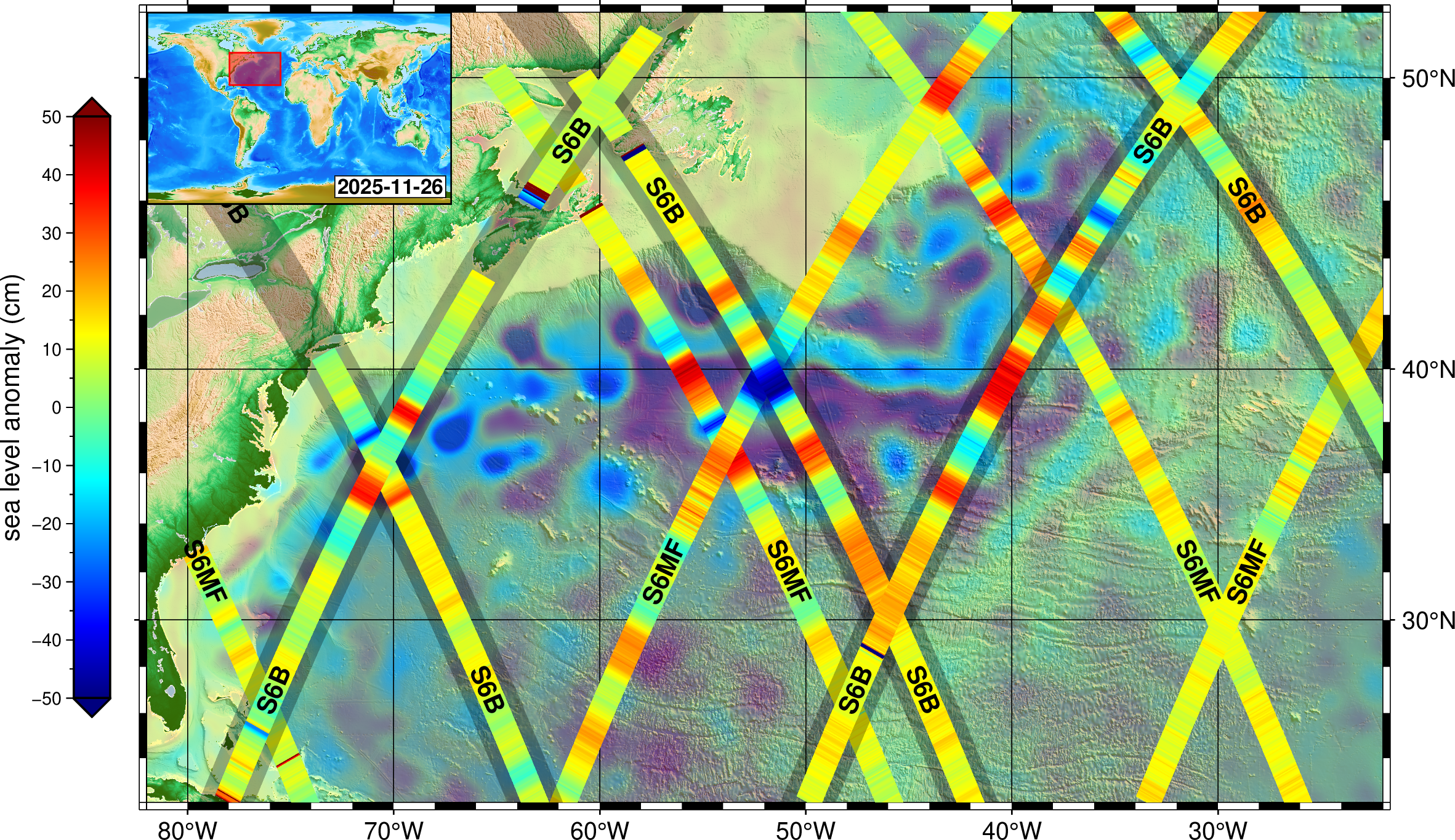
6 Things to Know From NASA About New US, European Sea Satellite
Data from Sentinel-6B will continue a decades-long record of sea surface height, helping to improve coastal planning, protect critical infrastructure,…
Read the Story