![Request for Information – Potential [Placeholder for Prize]](https://assets.science.nasa.gov/dynamicimage/assets/science/psd/solar/2023/09/s/solarsystem_0.jpg?w=1024)


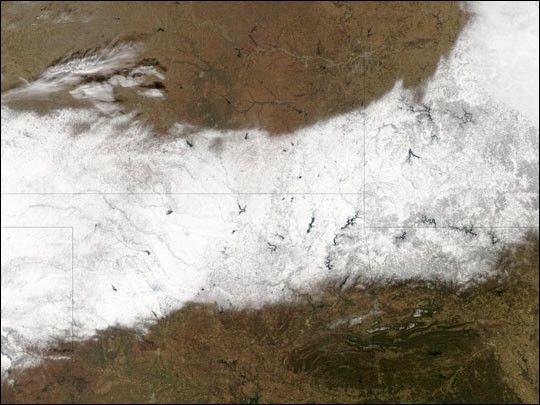
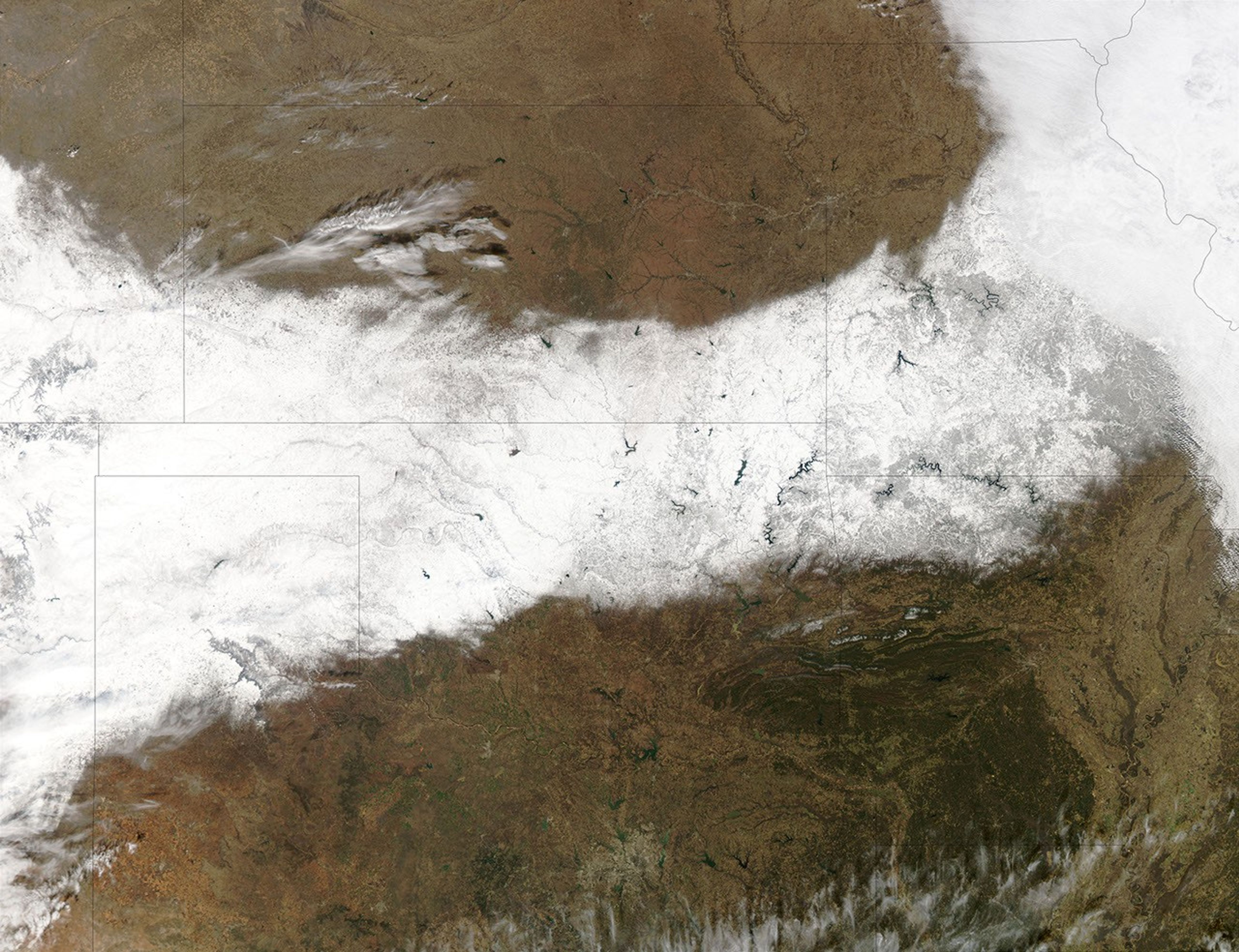
A severe winter storm rolled eastward across the central United States between December 23 and 25, 2002, bringing a white Christmas to millions of people in a wide swath stretching from the southern Great Plains region all the way to New England. Many areas in the northeast reported blizzard conditions during the storm, in which snow accumulated on the ground at a rate of up to 5 inches (12 cm) per hour. As much as 3 feet (1 meter) of snow fell in some places over the 48-hour span. Unfortunately, the storm resulted in at least 19 deaths. There have been a number of car accidents reported in many states and tens of thousands of people living in the northeast were left without power.
This true-color image was acquired on Dec. 25, 2002, by the Moderate Resolution Imaging Spectroradiometer (MODIS) flying aboard NASA’s Aqua satellite. The wide white swath running from west to east through the scene shows the southern Great Plains region blanketed by snow — from the Texas panhandle across northern Oklahoma and southern Kansas into Missouri and northwestern Arkansas. Brownish-green areas are bare land surface.
References & Resources
Image courtesy Jacques Descloitres, MODIS Land Rapid Response Team at NASA GSFC