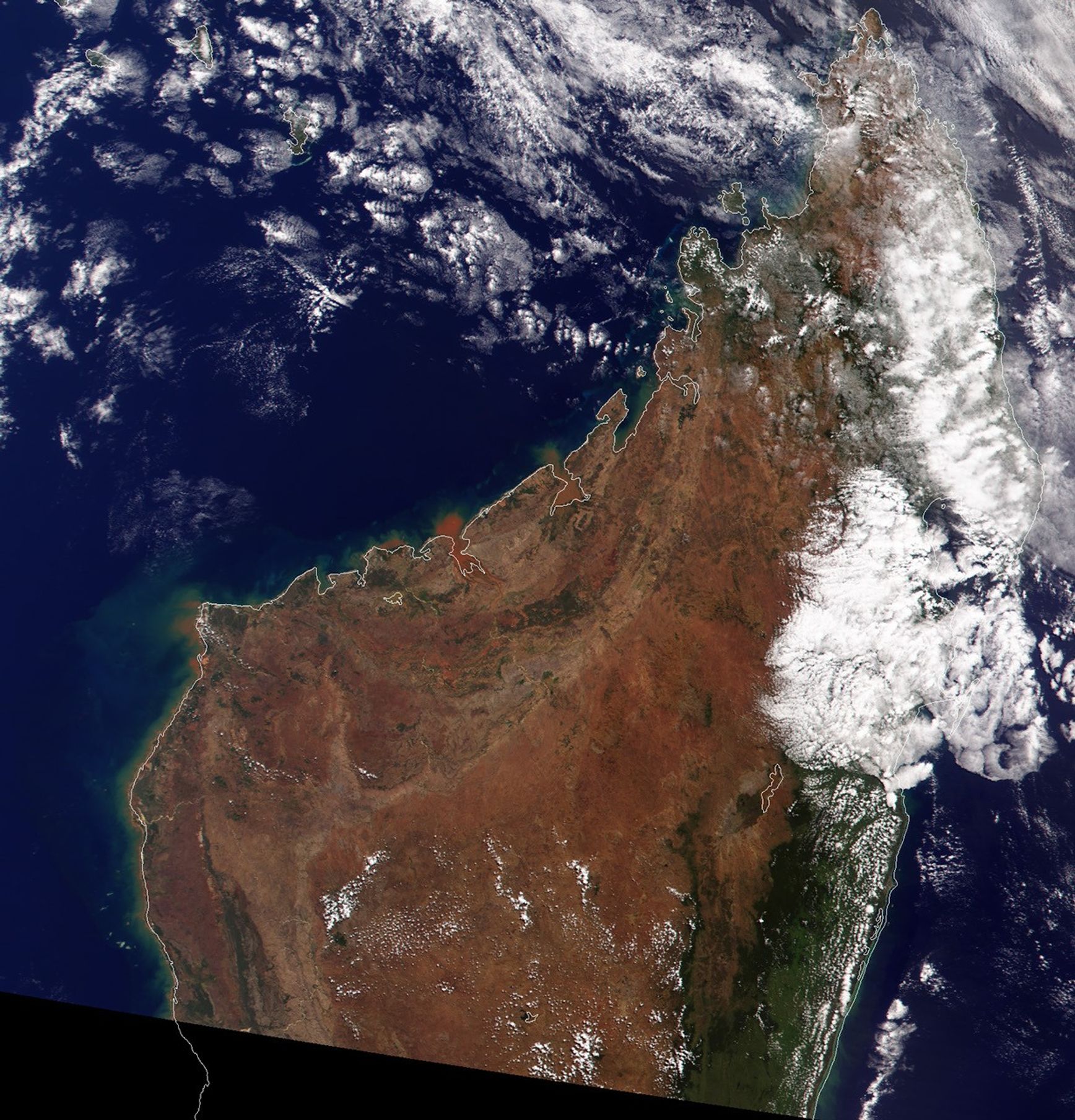
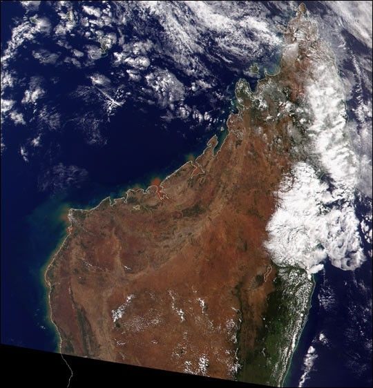
Once almost entirely covered in green, lush vegetation, Madagascar has witnessed the destruction of an estimated 80 percent of its indigenous forests. The now reddish-brown terrain can be seen in this true-colorimage of northern Madagascar acquired onMay 24, 2000, by the Moderate-resolution Imaging Spectroradiometer(MODIS), flying aboard NASA’s Terra spacecraft.
Most of Madagascar’s 15.5 million residents live and work on thetemperate, mountainous plateau that runs through the center of theisland. Over the past century they have cleared the original vegetationon most of the plateau for rice farming using slash and burn techniques.Driven by a need to feed an ever increasing population, the people ofMadagascar continue to encroach on the forests that lie along thecoasts.
Most of what is left of Madagascar’s native vegetation can beseen on the right side of the island in dark green on the image. Whilethis vegetation on the east coast of the island is primarily tropical rainforest, the indigenous vegetation on the west coast is dry tropicaldeciduous forest. The presence of the plateau has given rise to thesetwo distinct ecosystems. In both areas, a number of animals and plantsunique to Madagascar are threatened by the deforestation. The mostnotable of these are the 32 species of lemur that are endemic to theisland. Only two percent of the island’s wilderness isprotected.
References & Resources
Image by Brian Montgomery, Robert Simmon, and Reto Stöckli, based on data provided by the MODIS science team.