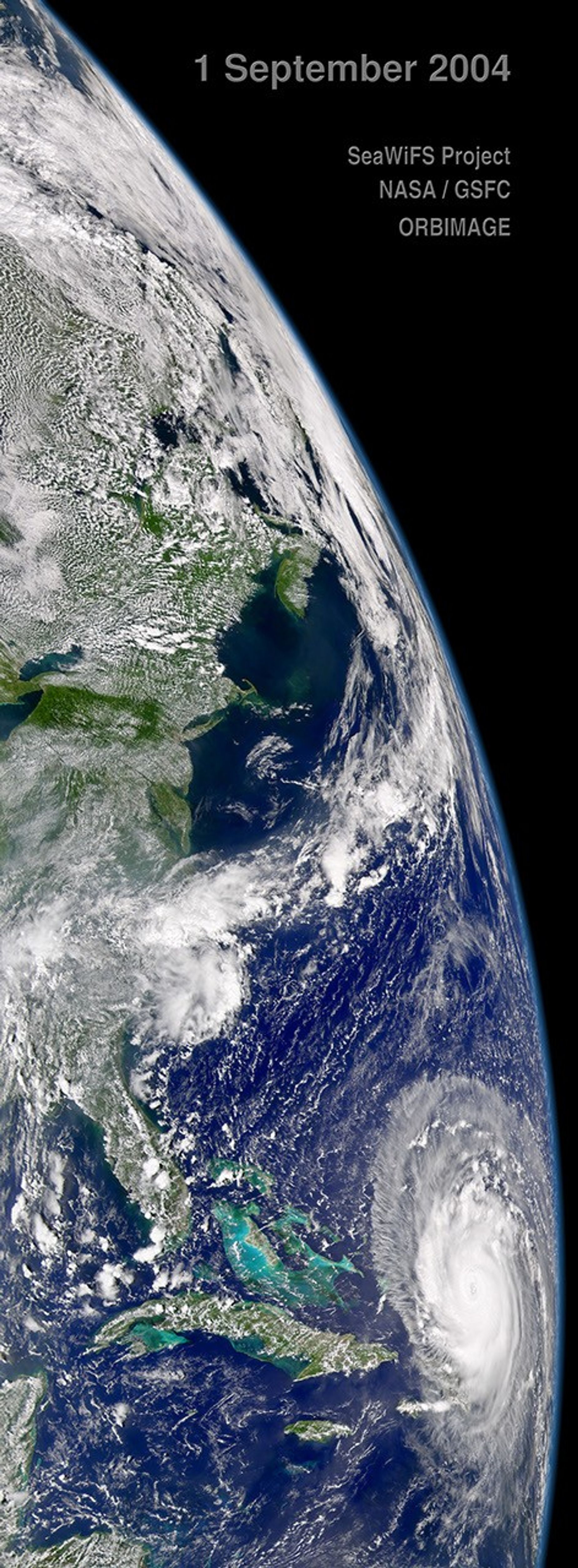
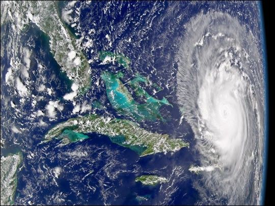
Powerful Hurricane Frances moves ever closer to the Bahamas Islands as it spins through the Atlantic in this image, acquired by the Sea-viewing Wide Field of View Sensor (SeaWiFS) on September 1, 2004. The angle of this image, with Florida in the upper left corner and Cuba beneath it, gives perspective on how large Frances has become. With tropical storm force winds extending 295 kilometers (185 miles) from the eye, the storm has a long reach. When this image was acquired, Frances’ maximum sustained winds had reached 220 kilometers per hour (140 mph), making it a solid Category Four storm. It was moving west northwest at 24 kilometers per hour (15 mph), and was expected to pass over the Bahamas within 24 hours after this image was taken.
References & Resources
Image provided by the SeaWiFS Project, NASA/Goddard Space Flight Center, and ORBIMAGE