







Suggested Searches

1 min read

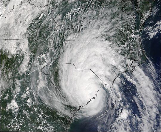
Tropical Storm Gaston

Instruments:
2004-08-29 00:00:00
August 29, 2004

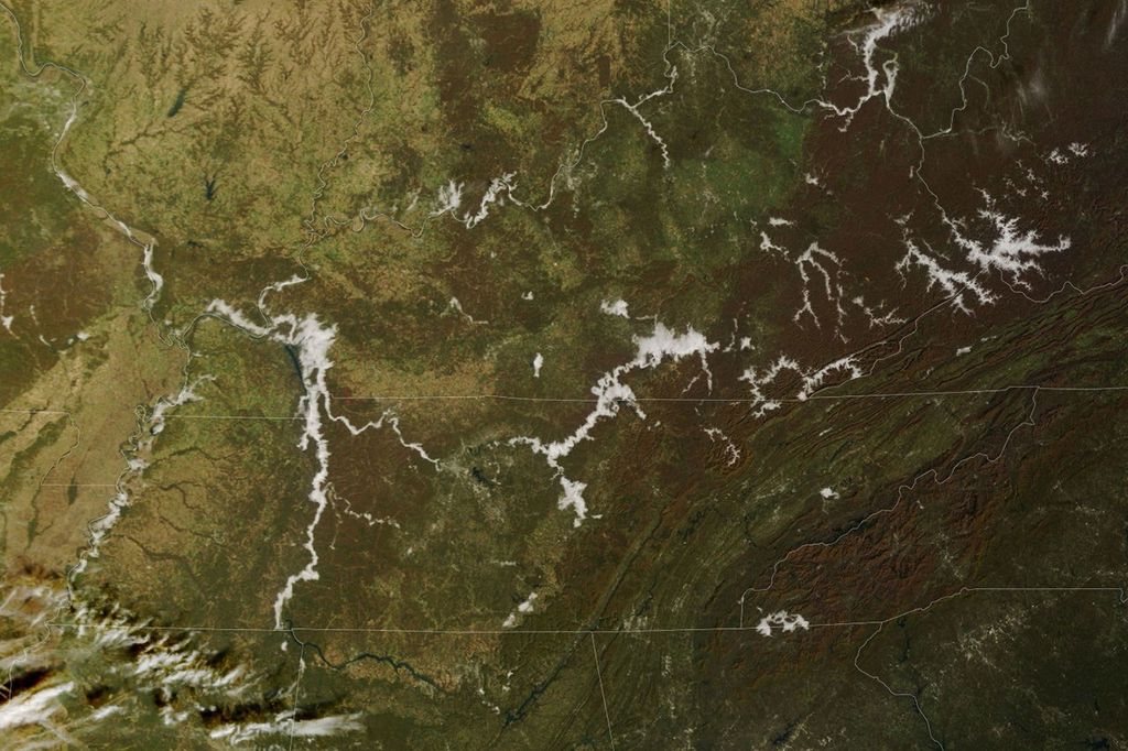
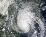
The MODIS instrument aboard NASA's Terra satellite captured this true-color image of Tropical Storm Gaston just after it came ashore near McClellanville, South Carolina. At the time this image was taken, Gaston had maximum sustained winds near 60 mph and was dumping copious amounts rain in North and South Carolina.

The MODIS Rapid Response System provides this image at additional resolutions and formats.

References & Resources

NASA image courtesy Jeff Schmaltz, MODIS Land Rapid Response Team at NASA GSFC.
You may also be interested in:

Stay up-to-date with the latest content from NASA as we explore the universe and discover more about our home planet.

Explosive Intensification for Hurricane Polo
5 min read

Several ingredients came together off the Pacific coast of Mexico to generate one of the strongest storms the eastern Pacific…

Article
Extratropical Cyclone Whips Past Iceland
2 min read

The powerful low-pressure system formed over the North Atlantic out of the remnants of Hurricane Isaias.

Article
Lala Batters Hawaii
3 min read

The powerful storm delivered extreme rainfall and damaging winds to the state, passing the Island of Hawaiʻi as a category…

Article