![Request for Information – Potential [Placeholder for Prize]](https://assets.science.nasa.gov/dynamicimage/assets/science/missions/a-step/FFR_Earth_Background_20251120%20.png?w=1024)


September 12, 2004
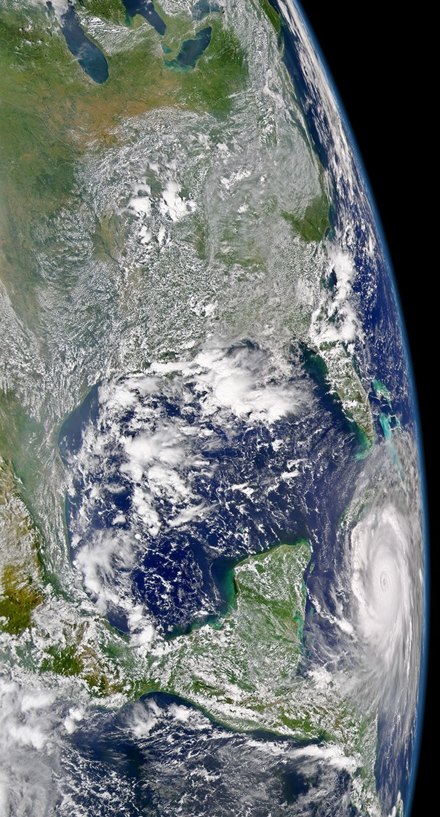
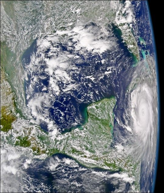
The SeaWiFS sensor aboard the OrbView-2 satellite captured this true-color image of Hurricane Ivan on September 12, 2004 at 18:22 UTC (2:22 PM EDT). At the time this image was taken, Ivan was lashing out at the Cayman Islands with maximum sustained winds of 240 km/hr (150 mph) and a storm surge as high as 25 feet. Ivan was moving towards the west-northwest at 17 km/hr (10 mph) while a turn towards the northwest wa expected within the next 24 hours.
References & Resources
Provided by the SeaWiFS Project, NASA/Goddard Space Flight Center, and ORBIMAGE