


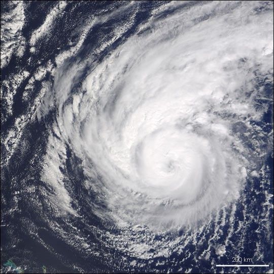
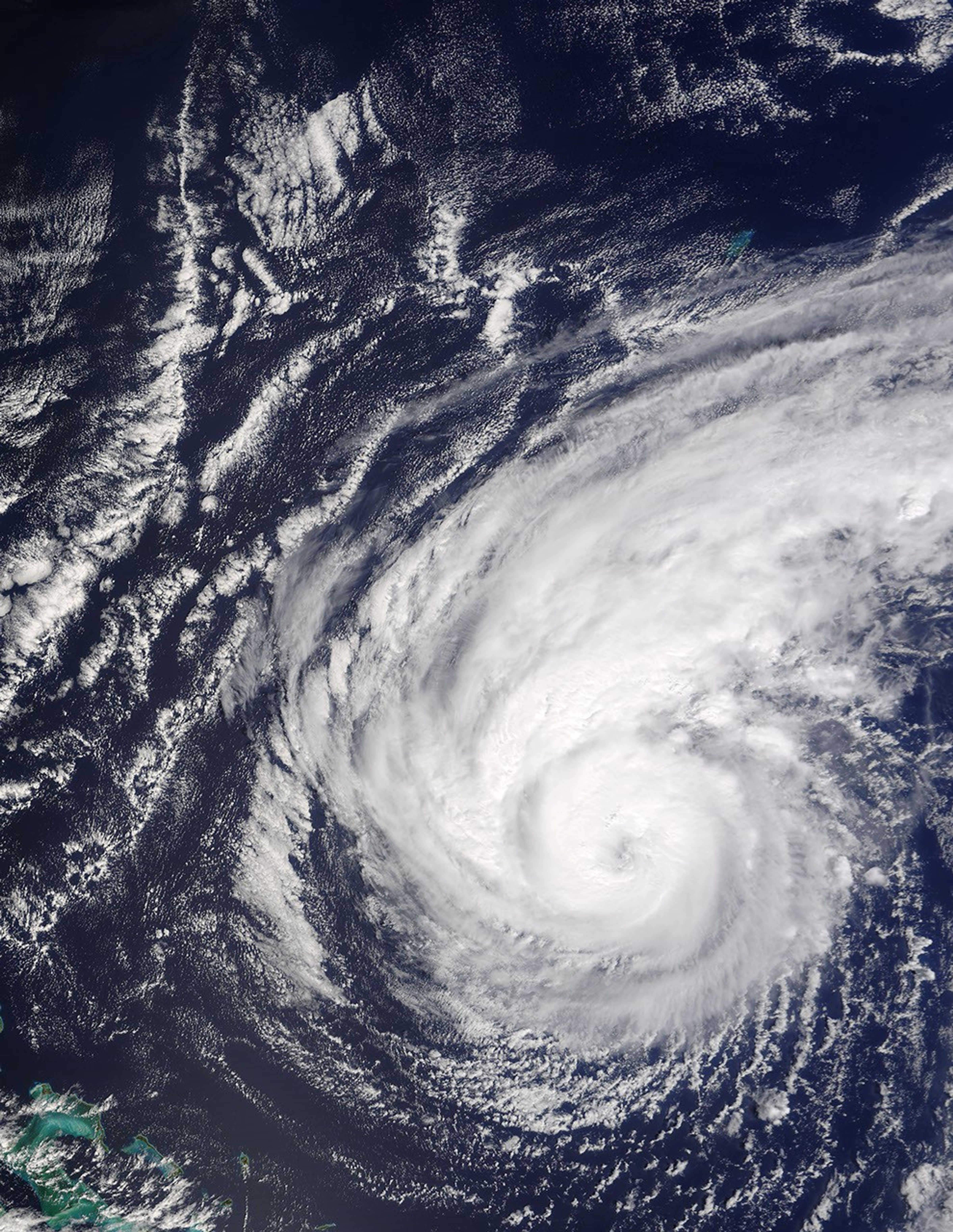
Hurricane Jeanne spins in the Atlantic Ocean about 855 kilometers (530 miles) east of the Bahamas in this Moderate Resolution Imaging Spectroradiometer (MODIS) image, captured by NASAâs Terra satellite on September 22, 2004. Though only a Category 2 hurricane, Jeanne has already been a deadly storm. Over 700 have died in Haiti, the Dominican Republic, and Puerto Rico as a result of floods triggered by Jeanneâs torrential rains. Jeanne currently has winds of 160 kilometers per hour (100 mph) and is moving south at 7 kilometers per hour (5 mph). Though the stormâs course has not been easy to predict, the National Hurricane Center expects the storm to turn west and move towards the United States early next week.
The large image provided above is at MODISâ maximum resolution of 250 meters per pixel. The MODIS Rapid Response Team provides the image in additional resolutions and formats.
References & Resources
NASA image courtesy Jeff Schmaltz, MODIS Land Rapid Response Team at NASA GSFC


