

























August 2, 2005
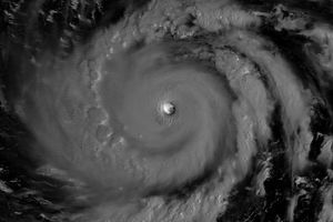
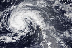
Typhoon Matsa is shown here on the morning of August 2, 2005. This image was captured by the Moderate Resolution Imaging Spectroradiometer (MODIS) on the Aqua satellite at 04:40 UTC (2:40 p.m. local time). The typhoon had only just been upgraded from a tropical storm at that time, with steady winds of around 120 kilometers per hour (75 miles per hour). It was not predicted to make landfall in the coming days, but isntead was predicted to travel northward into the Yellow Sea towards the Korean Peninsula and northern China.
References & Resources
NASA image created by Jesse Allen, Earth Observatory, using data obtained from the MODIS Rapid Response team.