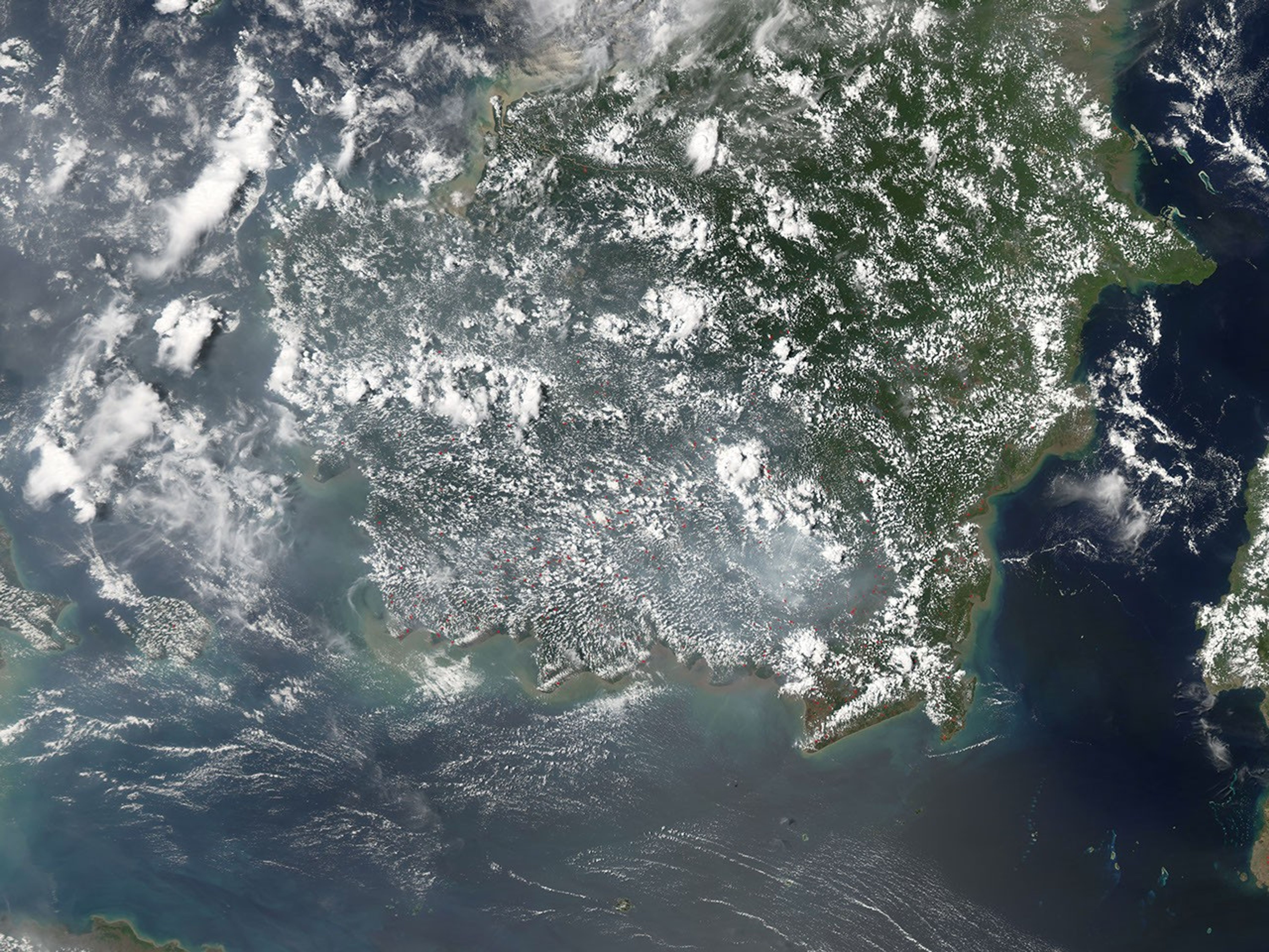


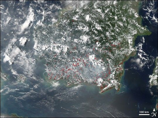
Scores of fires burning in Indonesia pumped out the thick haze seen in this photo-like satellite image. The Moderate Resolution Imaging Spectroradiometer (MODIS) on NASA’s Aqua satellite captured this image on September 10, 2006. Red dots mark the locations of the fires on the southern half of the island of Borneo. Scattered white clouds and a thick pall of grey-white haze obscure much of Borneo and the Java Sea to its west.
Though the practice is now illegal in Indonesia, fire is frequently used as a tool to clear land for agriculture. During August 2006, more than eight million hectares of forest and additional farm land burned, reported the Agence France-Presse news service. The annual fires regularly cloak Indonesia and its neighbors, Malaysia, Thailand, and Singapore, in thick smoke that can interrupt air and sea traffic.
References & Resources
NASA image created by Jesse Allen, Earth Observatory, using data obtained from the Goddard Earth Sciences DAAC.