


![Request for Information – Potential [Placeholder for Prize]](https://assets.science.nasa.gov/dynamicimage/assets/science/psd/solar/2023/09/s/solarsystem_0.jpg?w=1024)


- March 8, 2007 (1.1 MB JPG)
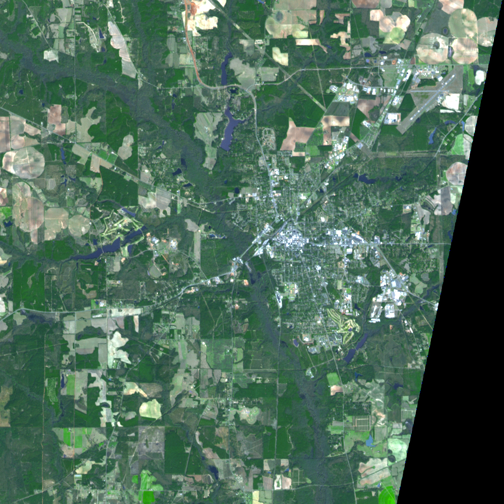
- February 1, 2006 (1.1 MB JPG)
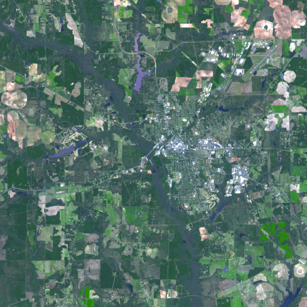
The tornado that tore through Americus, Georgia, left its mark on the small city. This image, captured by the Advanced Spaceborne Thermal Emission and Reflection Radiometer (ASTER) flying on NASA’s Terra satellite on March 8, 2007, shows a pale path running northeast across the city where the tornado tore up trees and damaged buildings. The city, bisected by the east-west highways 280 and 27, is bright white within a pale grey grid of roads. The tornado’s track took it through one of the two large clusters of buildings that make up the city. The most obvious damage, where several trees are missing in the upper left corner of the image, is near Sumter Regional Hospital, which was damaged in the storm. Though no serious injuries were reported in the hospital, the tornado killed two people elsewhere in Americus, reported the Associated Press. The tornado was part of a large storm system that also spurred a deadly tornado in Enterprise, Alabama.
References & Resources
NASA image created by Jesse Allen, using data provided courtesy of NASA/GSFC/MITI/ERSDAC/JAROS, and the U.S./Japan ASTER Science Team.


