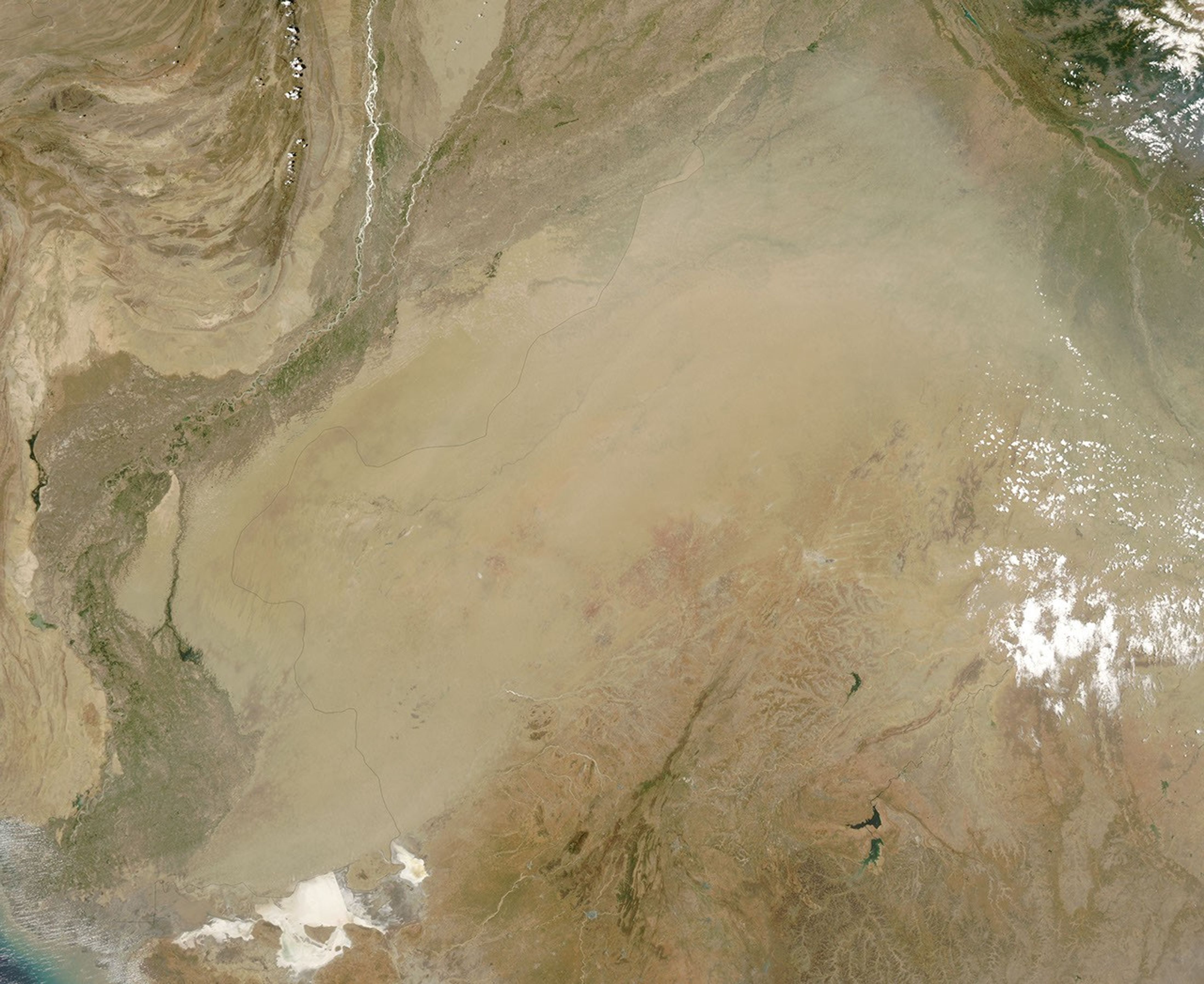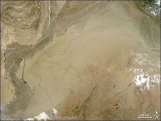
Dust blew over the border between Pakistan and India on June 10, 2007. The Moderate Resolution Imaging Spectroradiometer (MODIS) on NASA’s Aqua satellite captured this image the same day. This picture shows the dust plume, appearing as a tan blur, obscuring the landscape below. The underlying land surface is a sand desert, and it provides ample material for dust storms in the region.
According to ABC Online in Australia, both Pakistan and India suffered through a severe heat wave at the time of this dust storm. The same winds blowing hot air from the east might have also played a role in kicking up this dust.
South of the dust plume is the Rann of Kutch, a marshy region along the India-Pakistan border that alternates between wet and dry conditions. The whiteness of the area in this image indicates a salt pan that emerges in the dry phase.
You can download a 250-meter-resolution dust storm KMZ file for use with Google Earth.
References & Resources
NASA image by Jeff Schmaltz, MODIS Rapid Response Team, Goddard Space Flight Center.