












September 18, 2005
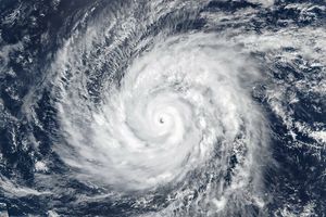
Hurricane Kenneth is just one of a series of tropical storms which have formed in the middle of September 2005 off the coast of Baja California. At the time of this image, it was bracketed by Hurricane Jova to the west and Tropical Storm Max to the east. The Moderate Resolution Imaging Spectroradiometer (MODIS) on NASA’s Aqua satellite captured this image of Kenneth at 3:25 p.m. local time. Kenneth had sustained wind speeds of 210 kilometers per hour (130 miles per hour) and a well-organized spiral structure that is quite apparent in this satellite image.
References & Resources
NASA image created by Jesse Allen, Earth Observatory, using data obtained courtesy of the MODIS Rapid Response team.