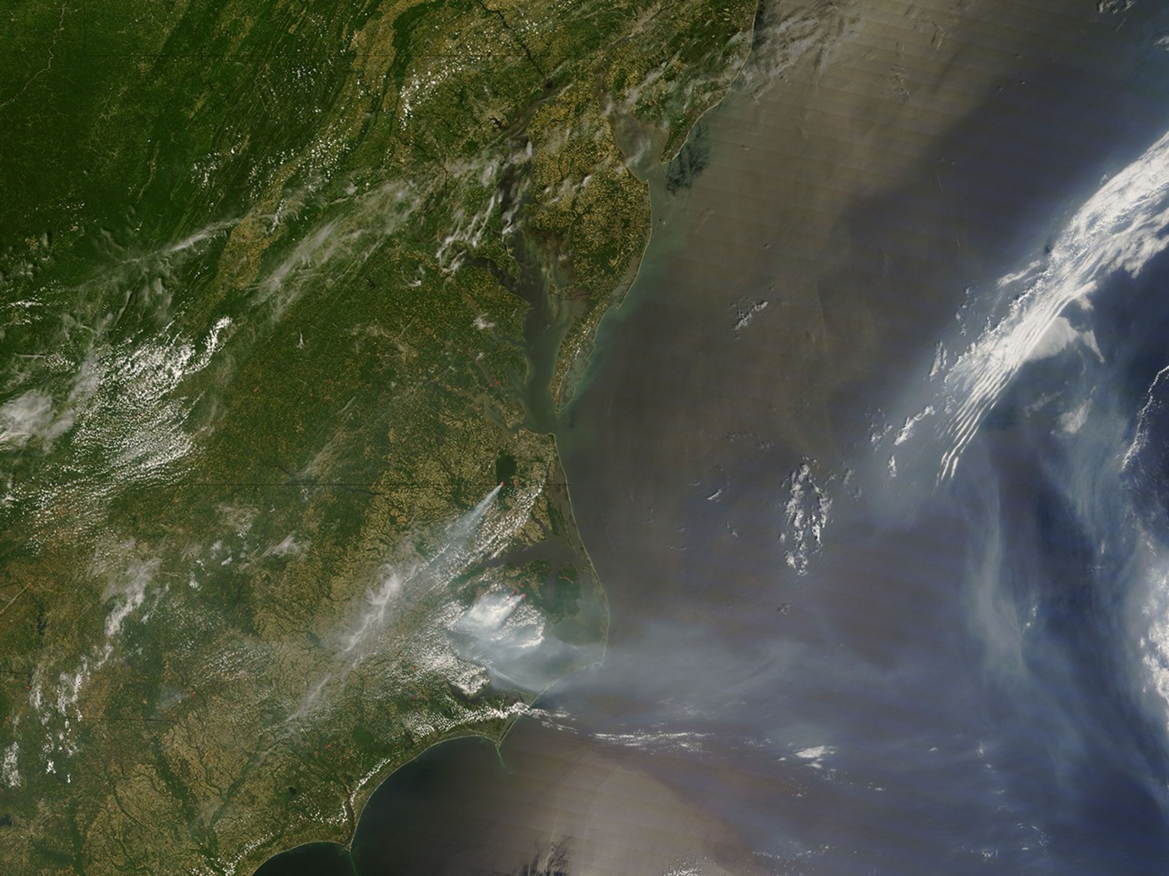
According to the June 12 morning report from the National Interagency Fire Center, the Evans Road Fire in eastern North Carolina’s Pocosin Lakes National Wildlife Refuge had grown to nearly 40,000 acres and was about 40 percent contained. This natural-color image from the Moderate Resolution Imaging Spectroradiometer (MODIS) on NASA’s Terra satellite on June 11, 2008, shows the fire (active locations outlined in red) and smoke over the region.
The forests and fields of the refuge have deep layers of peat (partially decayed vegetation.) Although the peat forms because the ground is usually waterlogged, when it does dry out, it can sustain fires that smolder for months.
References & Resources
NASA image courtesy the MODIS Rapid Response Team. Caption by Rebecca Lindsey.