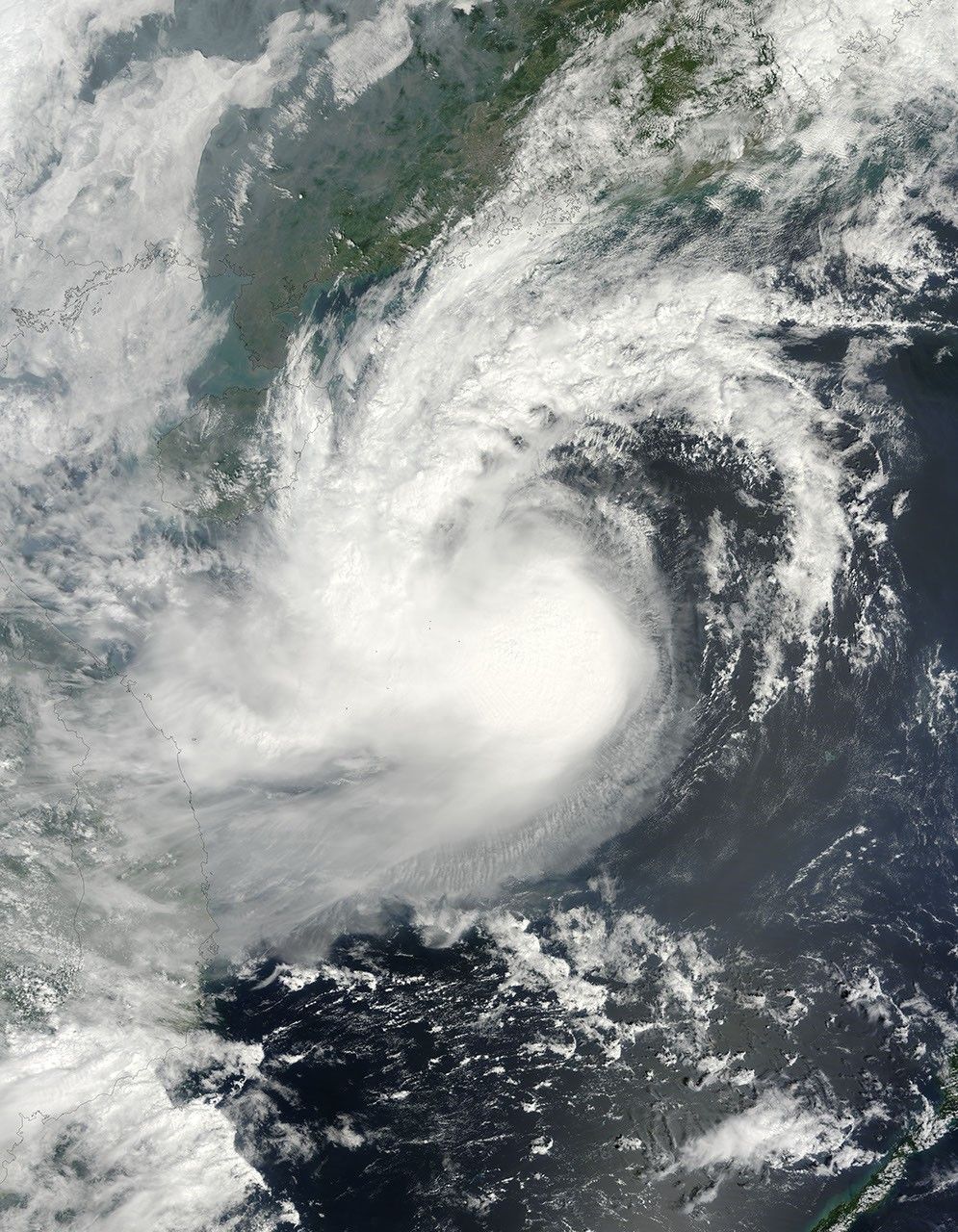

Tropical Storm Parma remained active on October 11, 2009, hovering over the South China Sea on a slow journey toward China and Vietnam. The Moderate Resolution Imaging Spectroradiometer (MODIS) on NASA’s Terra satellite captured this true-color image the same day. The storm’s clouds extend over the island of Hainan and Vietnam.
According to a bulletin from the Joint Typhoon Warning Center on October 12, Parma had maximum sustained winds of 35 knots (65 kilometers per hour) with gusts up to 45 knots (83 kilometers per hour). The same day, Xinhua reported that Parma had claimed three lives in China. Three people drowned when the storm capsized a boat in Hainan Province.
The high-resolution image provided above is at MODIS’ full spatial resolution (level of detail) of 250 meters per pixel. The MODIS Rapid Response System provides this image at additional resolutions.
References & Resources
- Joint Typhoon Warning Center. (2009, October 12). Typhoon 19W (Parma) Warning. U.S. Naval Marine Forecast Center. Accessed October 12, 2009.
- Xinhua. (2009, October 12). Death toll rises to three after tropical storm Parma lands in south China. Accessed October 12, 2009.
NASA image by Jeff Schmaltz, MODIS Rapid Response Team, Goddard Space Flight Center. Caption by Michon Scott.