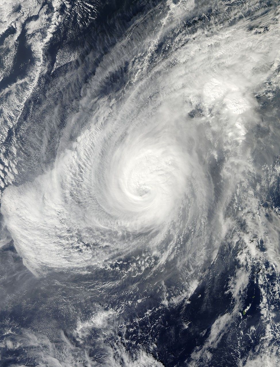
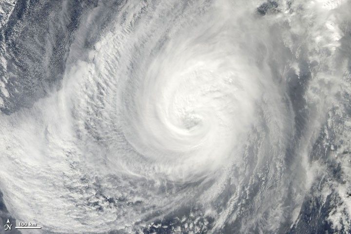
On November 30, 2009, Nida was a Category 4 typhoon, having sustained super-typhoon strength for the previous four days, according to Unisys Weather. The U.S. Navy’s Joint Typhoon Warning Center reported that, on November 30, Nida had maximum sustained winds of 90 knots (165 kilometers per hour), with gusts up to 110 knots (205 kilometers per hour). Located some 325 nautical miles (600 kilometers) south-southwest of Io-jima (Iwo Jima), Nida was moving slowly toward the northwest.
The Moderate Resolution Imaging Spectroradiometer (MODIS) on NASA’s Aqua satellite captured this true-color image at 1:15 p.m. Tokyo time (04:15 UTC) on November 30, 2009. The storm easily spans hundreds of kilometers, although the cloud bank southwest of Nida’s eye might be associated with a different weather system.
References & Resources
- Joint Typhoon Warning Center. (2009, November 30). Typhoon 26W (Nida) Warning. U.S. Naval Marine Forecast Center. Accessed November 30, 2009.
- Unisys Weather. (2009, November 30). Typhoon Nida. Accessed November 30, 2009.
NASA image by Jeff Schmaltz, MODIS Rapid Response Team, Goddard Space Flight Center. Caption by Michon Scott, NASA Earth Observatory.