Suggested Searches

1 min read

Fires in Central America

Instruments:
2002-04-02 00:00:00
April 2, 2002

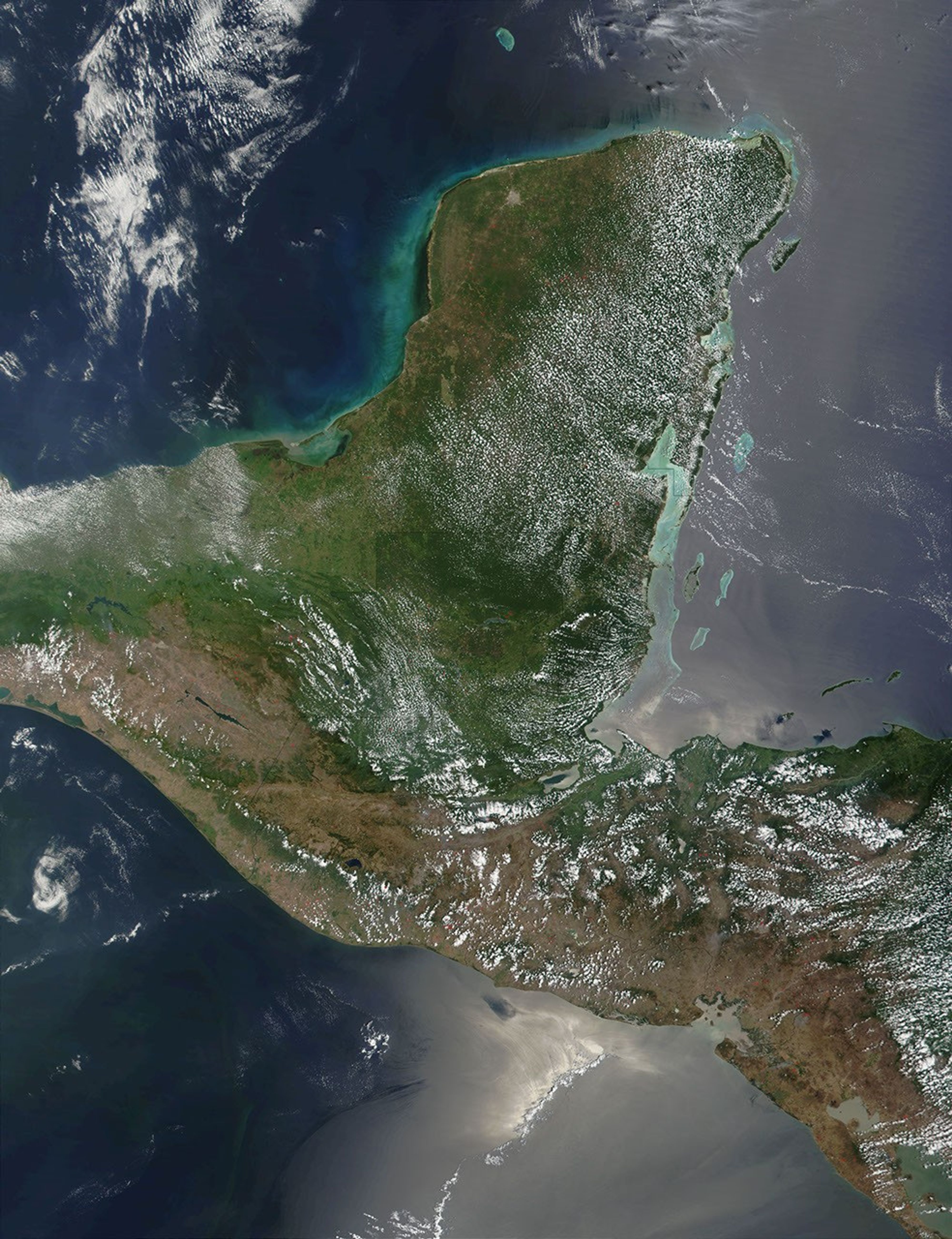
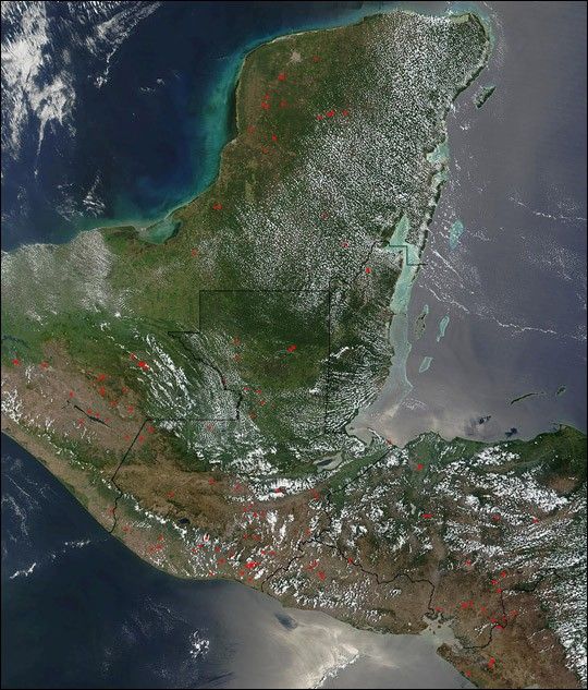
As can be seen in this true-color scene acquired on April 2, 2002, many fires dot the landscape across portions of Central America. This image spans from Mexico’s Yucatan Peninsula across Guatemala and into El Salvador and Honduras.

This image was acquired by the Moderate-resolution Imaging Spectroradiometer (MODIS), flying aboard NASA’s Terra satellite. The red boxes (click on the image above to see it at 250-meter resolution) indicate where active fires were burning.

References & Resources

Image courtesy Jacques Descloitres, MODIS Land Rapid Response Team at NASA GSFC

You may also be interested in:

Stay up-to-date with the latest content from NASA as we explore the universe and discover more about our home planet.

New Timing for Stubble Burning in India
5 min read

Scientists say the seasonal crop fires are burning later in the day than in previous years.

Article
B.C. Wildfires Send Smoke Skyward
2 min read

Lightning likely ignited several large fires that sent smoke pouring over the Canadian province in early September 2025.

Article
Smoky Skies in the Pacific Northwest
3 min read

Smoke filled river valleys in northeastern Washington and parts of British Columbia.

Article