





















April 15, 1999
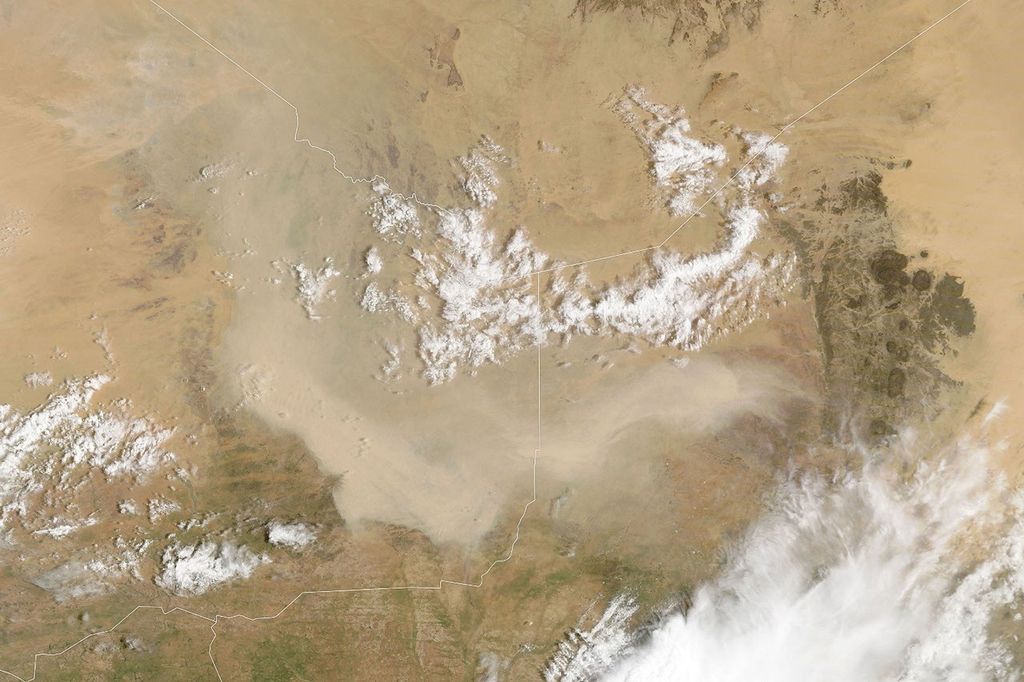
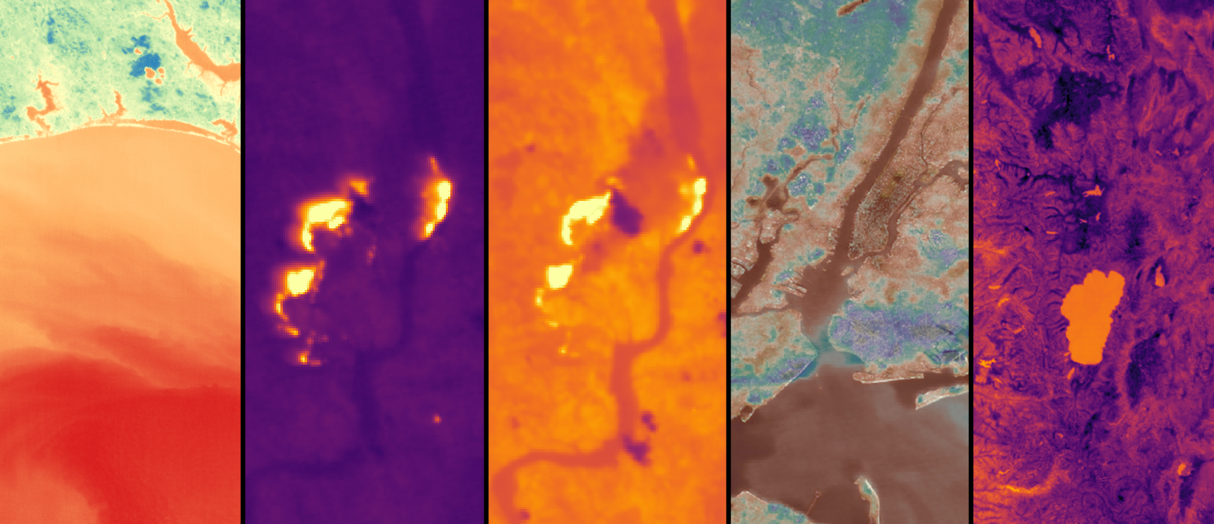
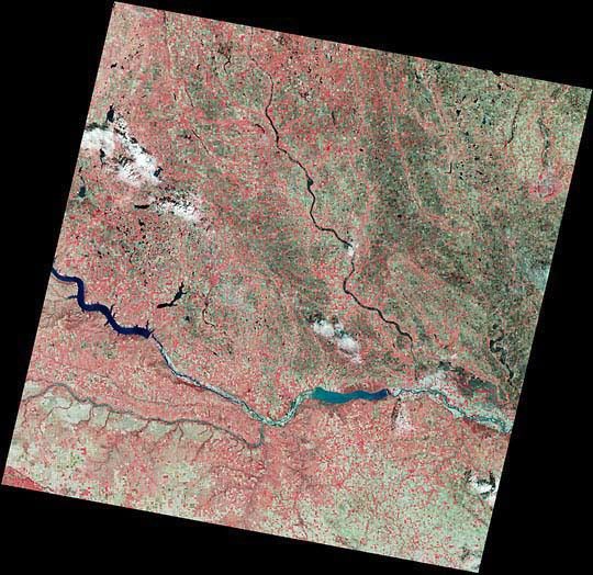
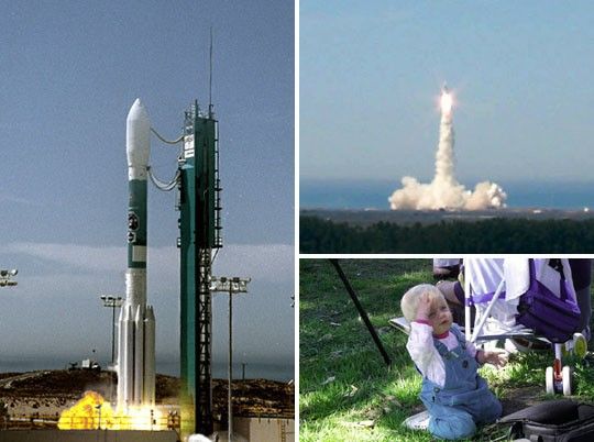
Landsat 7, NASA's newest Earth-observing satellite, launched without a hitch on April 15, 1999, at 2:32 p.m. EST from Vandenberg Air Force Base, California. As part of NASA's Earth Observing System and Earth Science Enterprise, Landsat 7 continues the 27-year legacy of gathering Earth surface images from space.
The 4,800 pound (2,177 kilogram) satellite was attached to a Boeing Delta II booster and soared smoothly into the sky where it settled into a near polar orbit 438 miles (705 kilometers) high.
References & Resources
Photographs (clockwise from left) courtesy Vandenberg AFB, Landsat 7 Project, and Robert Cahalan. Text by Emilie Lorditch.
None