


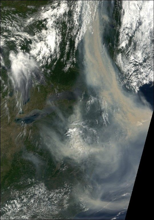
![Request for Information – Potential [Placeholder for Prize]](https://assets.science.nasa.gov/dynamicimage/assets/science/psd/solar/2023/09/s/solarsystem_0.jpg?w=1024)


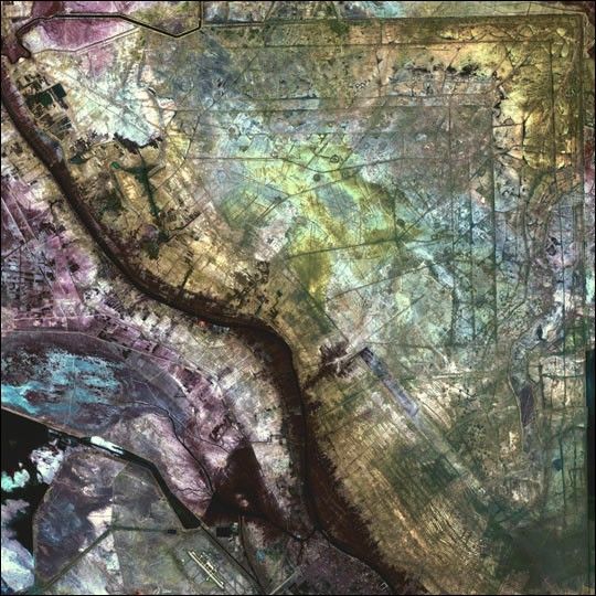
In an area north of the city of Al-Basrah, Iraq, which borders Iran, a former wetland has beendrained and walled off. Now littered with minefields and gun emplacments, it is a staging areafor military exercises.
This image was acquired byLandsat 7’s Enhanced Thematic Mapper plus(ETM+) sensor on January 24, 2001. This is a false-color composite image made using near-infrared,red, and green wavelengths. The image has also been sharpened using the sensor’s panchromaticband.
References & Resources
Image provided by the USGS EROS Data Center Satellite Systems Branch


