![Request for Information – Potential [Placeholder for Prize]](https://assets.science.nasa.gov/dynamicimage/assets/science/missions/a-step/FFR_Earth_Background_20251120%20.png?w=1024)


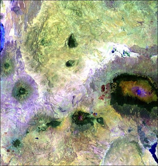
Portions of Kenya and Tanzania, Africa, can be seen in this image. The peak of Kilimanjarois on the right; the mountain is flanked by the plains of Amboseli National Park to the northand the rugged Arusha National Park to the south and west.
This image was acquired byLandsat 7’s Enhanced Thematic Mapper plus(ETM+) sensor on February 21, 2000. This is a false-color composite image made using shortwave infrared,infrared, and green wavelengths.
References & Resources
Image provided by the USGS EROS Data Center Satellite Systems Branch. This image is part of the ongoing Landsat Earth as Art series.