


![Request for Information – Potential [Placeholder for Prize]](https://assets.science.nasa.gov/dynamicimage/assets/science/psd/solar/2023/09/s/solarsystem_0.jpg?w=1024)


larger images:
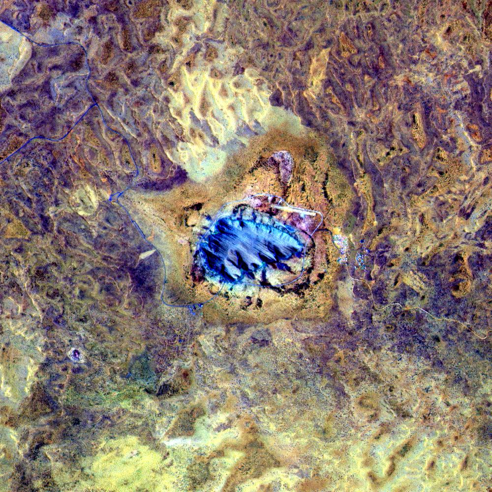
Close-up of Uluru
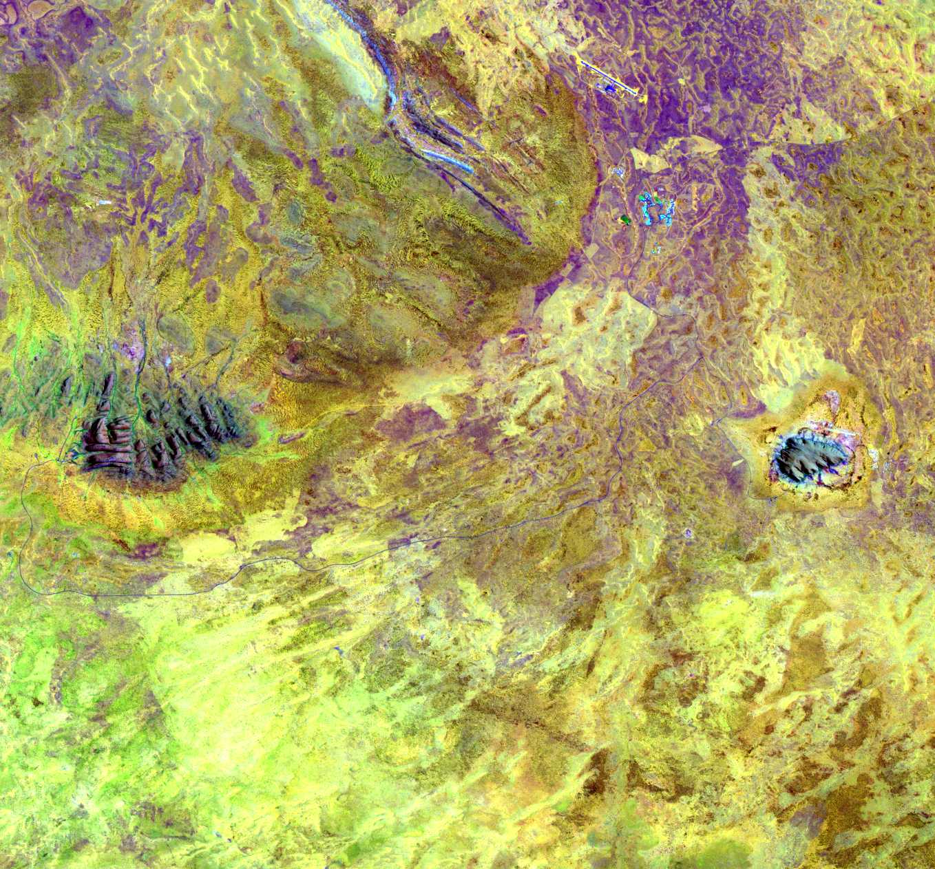
Uluru and Olgas
Uluru (the Aboriginal name for Ayers Rock) is located in the remote south-west corner of the NorthernTerritory, roughly in the center of the Australian continent. The area surrounding the Rock and thenearby Mt. Olga (also called Kata Tjuta, or sometimes “the Olgas”) is all part of Uluru - Kata Tjuta National Park, which is administered jointly by theAustralian government and the Aboriginal community. The nearest town of any size is Alice Springs(pop. 26,000), which is about 275 miles away by road.
Uluru lives up to its status as the world’s most famous monolith - rising 348 metres above thesurrounding plain, occupying an area of 3.33 sq km, and with a girth of 9.4 km. The sandstone rockis especially impressive at dawn and sunset when the red rock spectacularly changes hue. There arewalks around the base of the rock which pass caves, rock art and sacred Aboriginal sites.
This image was acquired byLandsat 7's Enhanced Thematic Mapper plus(ETM+) sensor on October 16, 1999. This is a false-color composite image made using shortwaveinfrared, infrared, and blue wavelengths (ETM+ bands 7, 4, and 1). The larger area image thatincludes the Olgas has also been sharpened using the sensor's panchromatic band.
References & Resources
Image provided by the Goddard Space Flight Center's Landsat team and the Australian ground receiving station teams.
None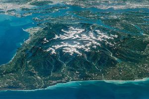


