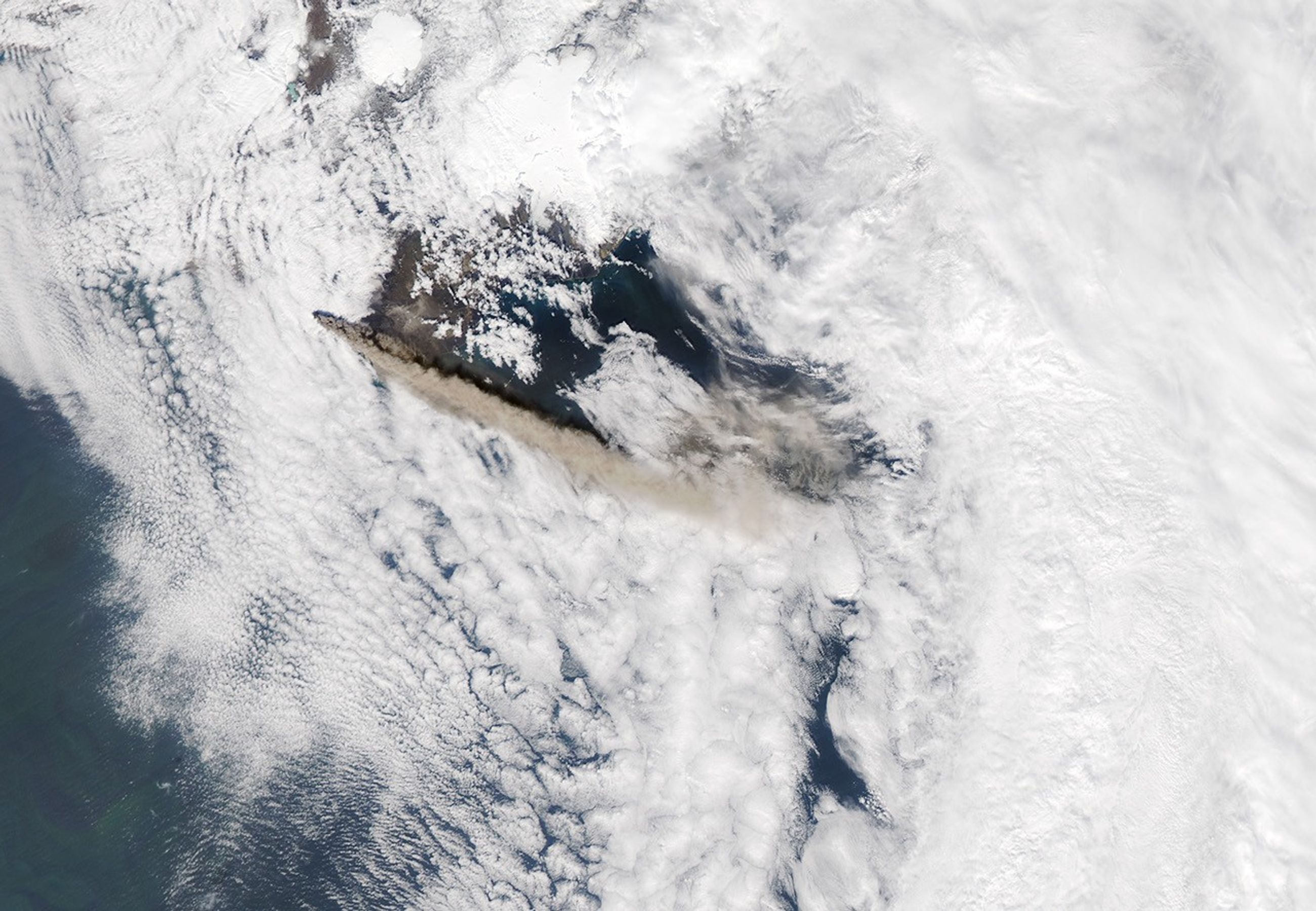














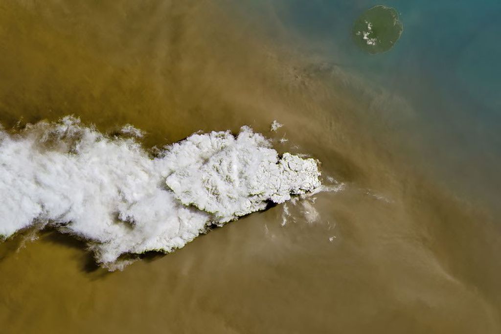









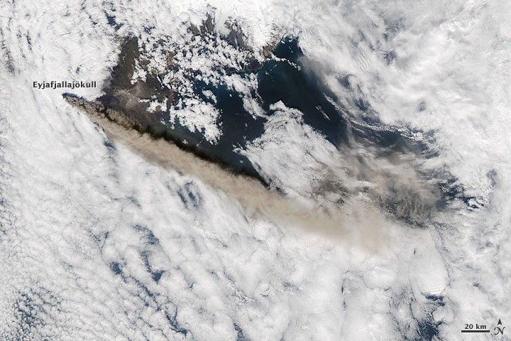
Reaching a height of 4 to 5 kilometers (13,000-17,000 feet), the plume of ash from Iceland’s Eyjafjallajökull Volcano rises above a sea of clouds in this image. The Moderate Resolution Imaging Spectroradiometer (MODIS) on NASA’s Aqua satellite captured the image on May 12, 2010.
According to the Iceland Meteorological Office and the Institute of Earth Sciences at the University of Iceland, the eruption had changed little from previous days and showed no signs of stopping. As this image shows, the ash plume blew east and southeast on May 12, the plume of previous days had blown south and southeast, closing airports in Spain, Portugal, and Morocco, reported BBC News.
References & Resources
- BBC News. (2010, May 12). Airports in Spain and Portugal reopen after ash fears. Accessed May 12, 2010.
- Iceland Meteorological Office and Institute of Earth Sciences, University of Iceland. (2010, May 12). Eruption in Eyjafjallajökull status report: 15:00 GMT, 12 May 2010. Accessed May 12, 2010.
NASA image by Jeff Schmaltz, MODIS Rapid Response Team at NASA GSFC. Caption by Holli Riebeek.