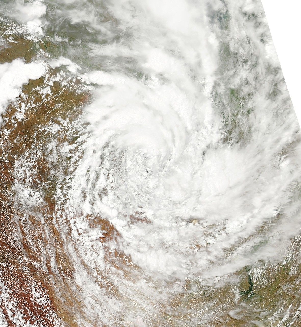























Two days after coming ashore over Queensland, Australia, the former Tropical Cyclone Yasi was still a formidable storm. On February 4, 2011, when the Moderate Resolution Imaging Spectroradiometer (MODIS) on NASA’s Aqua satellite took this image, the storm still had the spiral shape characteristic of large tropical cyclones, even though it had been moving inland over mountains and desert.
The Australian Bureau of Meteorology warned residents of Northern Territory that the storm would bring strong winds gusting up to 95 kilometers per hour (59 miles per hour) and heavy rains that could lead to flash floods. Yasi was moving southwest at 18 kilometers per hour (11 mph).
References & Resources
- Australian Bureau of Meteorology. (2011, February 4). Severe weather warning. Accessed February 4, 2011.
NASA image courtesy the MODIS Rapid Response Team at NASA GSFC. Caption by Holli Riebeek.