![Request for Information – Potential [Placeholder for Prize]](https://assets.science.nasa.gov/dynamicimage/assets/science/missions/a-step/FFR_Earth_Background_20251120%20.png?w=1024)


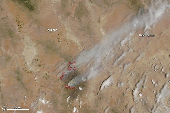
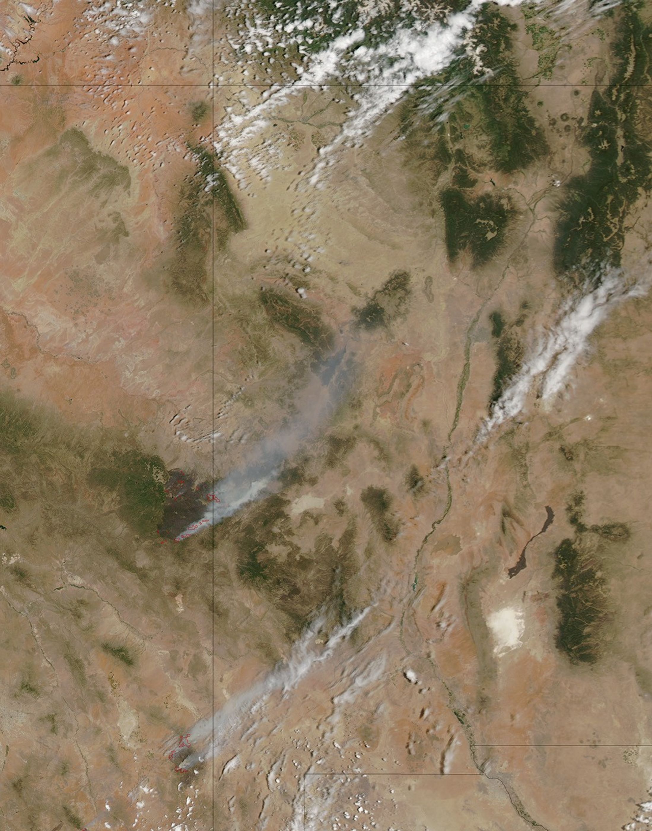
Burning in southeast Arizona, the Horseshoe Two fire had consumed 171,333 acres and was 53 percent contained when the Moderate Resolution Imaging Spectroradiometer (MODIS) on the Aqua satellite acquired this image on June 13, 2011. The fire started on May 8, caused by human activity. It is burning mostly brush and grass.
Though smaller than the Wallow Fire burning 150 kilometers to the north, the Horseshoe Two fire is among the largest fires in Arizona history. A cold winter killed oak brush in the region and drought dried other plants, providing an abundance of fuel. Once the fire started, strong winds quickly blew it out of control in hard-to-access terrain. As of June 14, the fire had damaged or destroyed 9 homes and 14 outbuildings.
References & Resources
- InciWeb. (2011, June 14). Horseshoe Two. Accessed June 14, 2011.
NASA image courtesy Jeff Schmaltz, MODIS Rapid Response Team at NASA GSFC. Caption by Holli Riebeek.