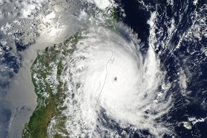
Well away from land, Typhoon Vamco moved north over the Pacific Ocean on August 20, 2009, gradually building steam. When the Moderate Resolution Imaging Spectroradiometer (MODIS) on NASA’s Terra satellite captured this image at 00:05 UTC, the storm had sustained winds of 195 kilometers per hour (120 miles per hour or 105 knots), according to the Joint Typhoon Warning Center. Forecasters expected the typhoon to continue to strengthen into a Category 4 Super Typhoon by August 21. The storm was not expected to hit land.
In this photo-like image, Vamco is clearly well-formed. It has a small, distinctive eye defined by a wall of clouds. The bands of clouds that spiral out from the eye form a tight, symmetric circle, another sign of a powerful storm.
The high-resolution image provided above is at MODIS’ full spatial resolution (level of detail) of 250 meters per pixel. The MODIS Rapid Response System provides this image at additional resolutions.
References & Resources
- Joint Typhoon Warning Center. (2009, August 20). Typhoon 11W (Vamco). U.S. Navy. Accessed August 20, 2009.
NASA image by Jeff Schmaltz, MODIS Rapid Response Team, Goddard Space Flight Center. Caption by Holli Riebeek.


