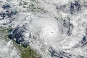
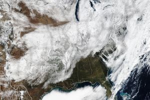
Hurricane Bill skirted the East Coast of the United States on August 23, 2009, and headed for Canada. According to a public advisory from the U.S. National Hurricane Center issued at 8:00 p.m. Atlantic Standard Time, the storm had maximum sustained winds near 120 kilometers (75 miles) per hour with higher gusts. The center of the storm was approximately 375 kilometers (230 miles) west of Cape Race, Newfoundland. Bill was a Category 1 storm and expected to weaken over the next 24 hours.
The Moderate Resolution Imaging Spectroradiometer (MODIS) on NASA’s Aqua satellite acquired this true-color image of Hurricane Bill at 2:00 p.m. Eastern Daylight Time (14:00 UTC) on August 22, 2009. The storm largely misses the Eastern states, with the center of the storm well off the coast.
References & Resources
NASA image by Jeff Schmaltz, MODIS Rapid Response Team, Goddard Space Flight Center. Caption by Michon Scott.


