October 30, 2012
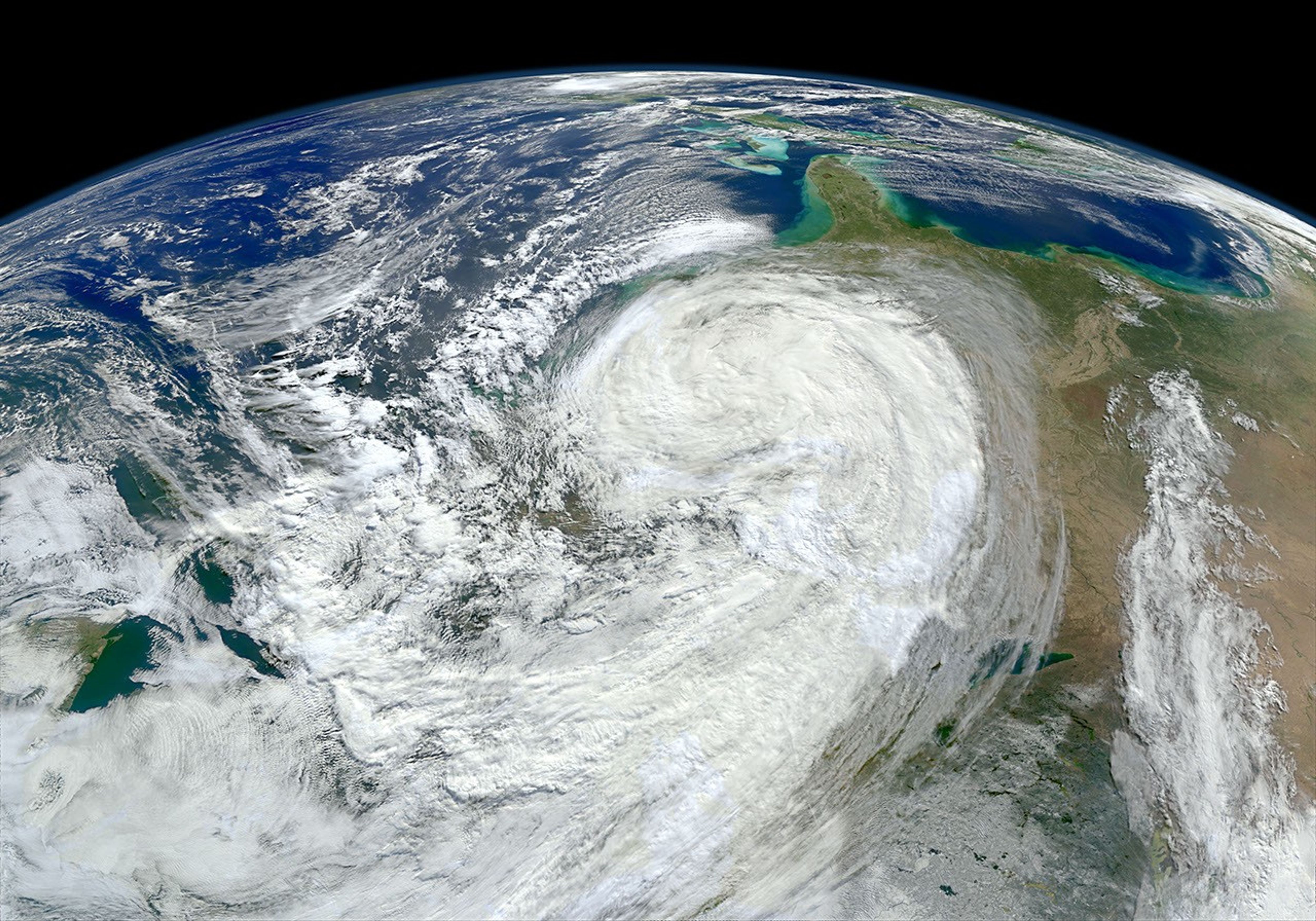
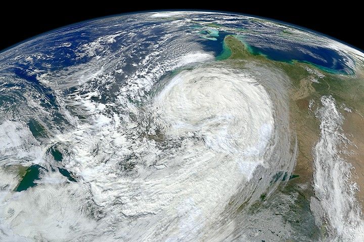
As Hurricane Sandy moved north along the East Coast of the United States, its waves churned up sediments from the continental shelf and left turbid water in its wake. By midday October 30, 2012, the skies over coastal Florida, Georgia, and South Carolina had cleared enough to reveal that turbidity to the Visible Infrared Imaging Radiometer Suite (VIIRS) on the Suomi NPP satellite. Meanwhile, the remnants of the storm were battering the northeastern states.
Note that the image is rotated so that you are looking south from Canada, with north toward the bottom.
For more views of the storm, please visit our Hurricane Sandy event page or YouTube channel.
References & Resources
NASA image courtesy Norman Kuring, Ocean Color Web.