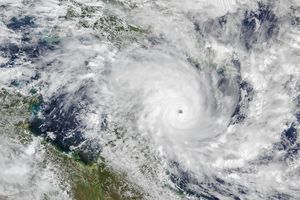
Cyclone Ingrid was just below Category-5-strength status when the Moderate Resolution Imaging Spectroradiometer (MODIS) on NASA's Aqua satellite captured this image on March 8, 2005. The storm is steadily bearing down on Australia's Cape York Peninsula, where residents are under a cyclone warning. Storms of this magnitude are unusual in the Coral Sea, according to the Australian Bureau of Meteorology; the last storm of this size to strike northern Queensland came ashore in 1918.
Ingrid had winds of 240 kilometers per hour (150 mph) with gusts to 296 kph (184 mph), and was moving west at 8 kilometers per hour (5 mph) when this image was taken. The image reveals Ingrid's large, clear eye, through which dark ocean water is clearly visible. The storm is expected to move ashore early on March 9, local time.
References & Resources
NASA image courtesy Jeff Schmaltz, MODIS Land Rapid Response Team at NASA GSFC. The image is available in additional resolutions .


