


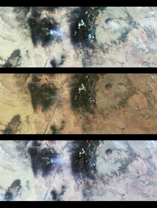
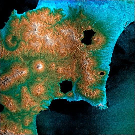
The southeast part of the island of Hokkaido, Japan, is an area dominated byvolcanoes and volcanic caldera. The active Usu Volcano is at the lower right edgeof the circular Lake Toya-Ko and near the center of the image. The prominent coneabove and to the left of the lake is Yotei Volcano with its summit crater. Thecity of Sapporo lies at the base of the mountains at the top of the image and thetown of Yoichi -- the hometown of SRTM astronaut Mamoru Mohri -- is at the upperleft edge. The bay of Uchiura-Wan takes up the lower center of the image. In thisimage, color represents elevation, from blue at the lowest elevations to white atthe highest. The radar image has been overlaid to provide more details of theterrain. Due to a processing problem, an island in the center of this crater lakeis missing and will be properly placed when further SRTM swaths are processed.The horizontal banding in this image is a processing artifact that will beremoved when the navigation information collected by SRTM is fully calibrated.
This image was acquired by the Shuttle Radar Topography Mission (SRTM) aboard theSpace Shuttle Endeavour, launched on February 11, 2000. SRTM used the same radarinstrument that comprised the Spaceborne Imaging Radar-C/X-Band SyntheticAperture Radar (SIR-C/X-SAR) that flew twice on the Space Shuttle Endeavour in1994. SRTM was designed to collect three-dimensional measurements of the Earth'ssurface. To collect the 3-D data, engineers added a 60-meter-long (200-foot)mast, installed additional C-band and X-band antennas, and improved tracking andnavigation devices. The mission is a cooperative project between the NationalAeronautics and Space Administration (NASA), the National Imagery and MappingAgency (NIMA) of the U.S. Department of Defense (DoD), and the German and Italianspace agencies. It is managed by NASA's Jet Propulsion Laboratory, Pasadena, CA,for NASA's Earth Science Enterprise, Washington, DC. Size: 100 by 150 kilometers(62 by 93 miles)
Location: 42.5 deg. North lat., 140.3 deg. East lon.
Orientation: North towards upper left
Image Data: SRTM
Original Data Resolution: SRTM 30 meters (99 feet)
Date Acquired: February 17, 2000
For more information, see the SRTM web site.
References & Resources
Image courtesy NASA/JPL/NIMA
None


