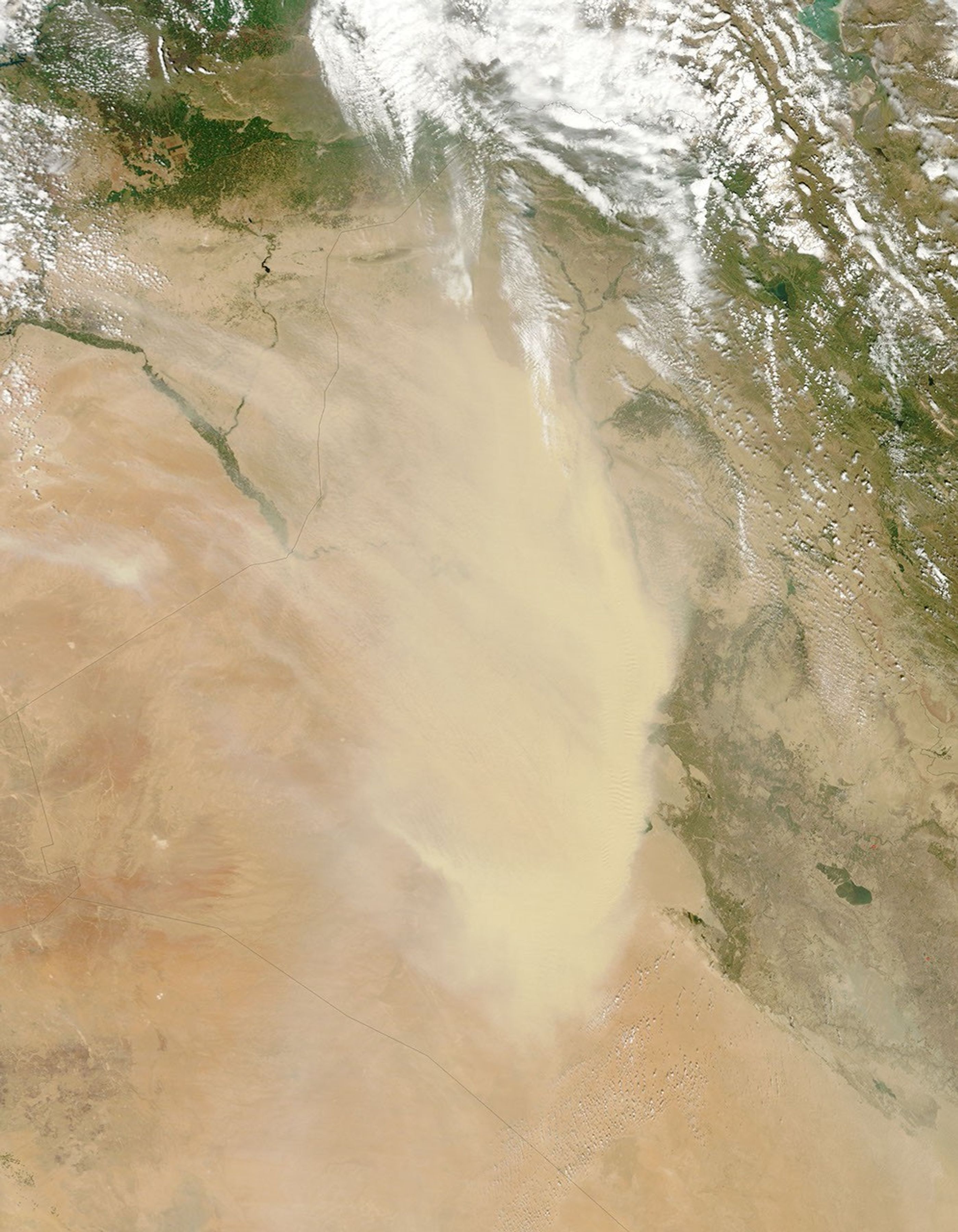
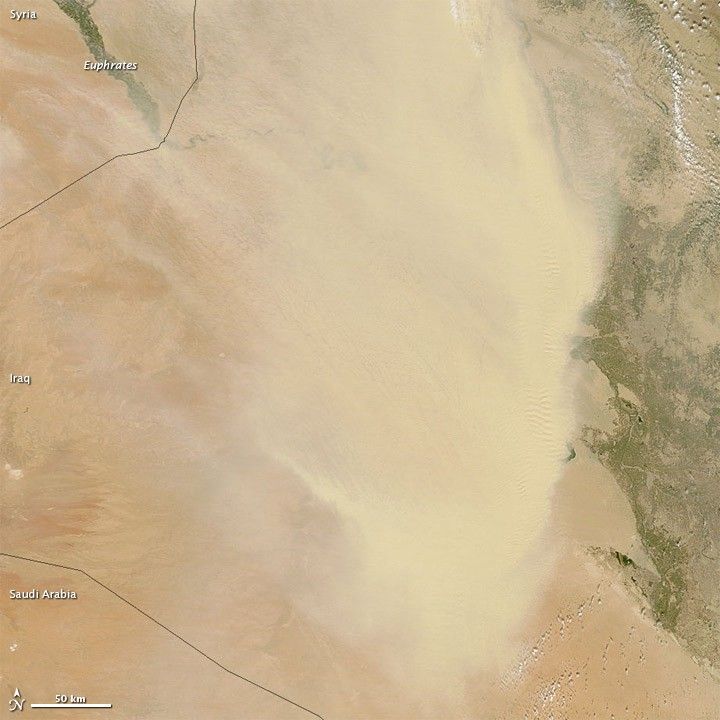
Dust storms continued in Iraq in late April 2012, and a thick plume of dust spanning hundreds of kilometers hovered over the country on April 19. The Moderate Resolution Imaging Spectroradiometer (MODIS) on NASA’s Terra satellite captured this natural-color image the same day. The dust was thick enough to hide the northwestern part of the country from the satellite sensor’s view.
Multiple sources of dust occur throughout the Arabian Peninsula. In Syria and Iraq, fine sediments from the Tigris and Euphrates Rivers as well as numerous impermanent rivers can be lofted into the air by winds. Sand seas cover much of Saudi Arabia, and dust from those sandy deserts can travel northwards into Iraq.
Dust storms had plagued the region for several days by the time MODIS took this picture. A CNN reporter was caught in one such storm on April 13.
References & Resources
- References
- CNN Blogs. (2012, April 16) Extreme sand and dust storms. Accessed April 20, 2012.
NASA image by Jeff Schmaltz, LANCE/EOSDIS MODIS Rapid Response. Caption by Michon Scott.