July 20, 2013
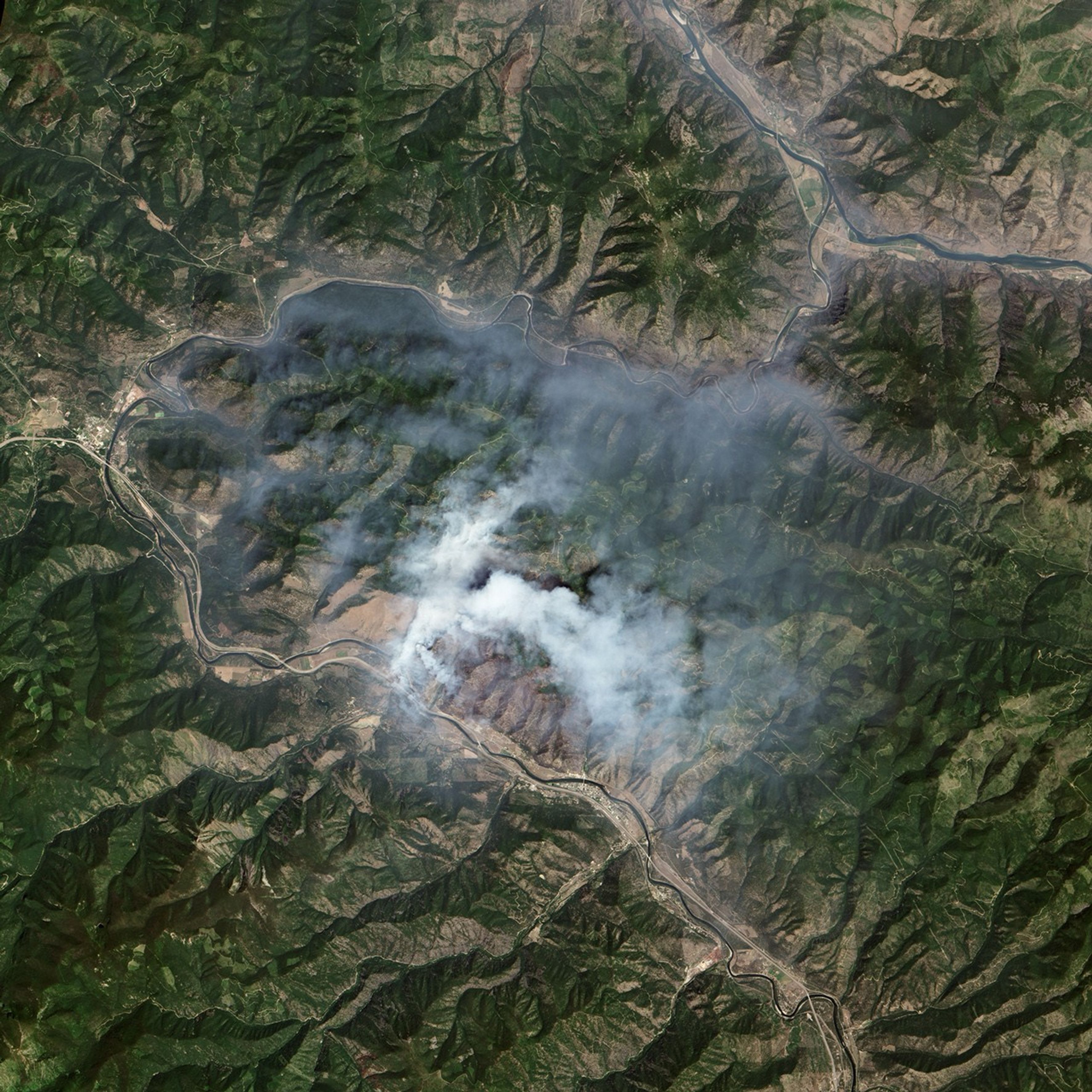
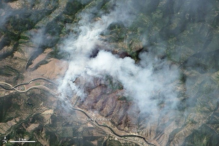
On July 20, 2013, the Advanced Land Imager (ALI) on NASA’s Earth Observing-1 (EO-1) satellite captured this image of the West Mullan fire burning in western Montana. The fire was burning just north of Interstate 90 near the town of Superior. The fire started on July 14. By July 23, it had burned 6,090 acres (2,465 hectares).
Further Reading
- InciWeb (2013, July 23) West Mullan Fire. Accessed July 17, 2013.
- NBC Montana (2013, July 17) Crews make progress on West Mullan Fire. Accessed July 23, 2013.
- Missoulian (2013, July 22) Schwarzenegger visits Superior wildfire; ground crews report progress. Accessed July 23, 2013.
References & Resources
NASA Earth Observatory image by Jesse Allen and Robert Simmon, using EO-1 ALI data provided courtesy of the NASA EO-1 team and the U.S. Geological Survey. Caption by Adam Voiland