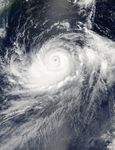











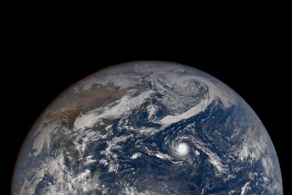





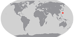

Typhoon Halong was moving toward Okinawa and the Japanese mainland when the Moderate Resolution Imaging Spectroradiometer (MODIS) on NASA’s Aqua satellite acquired this image at 1:30 p.m. local time (0430 Universal Time) on August 6, 2014. The storm had maximum sustained winds of 160 kilometers (100 miles) per hour, making it the equivalent of a category 2 hurricane.
Halong is moving north-northeast on a path that will run roughly parallel to the Ryukyu Islands. However, forecasters think the storm will stay east of the islands. By late Friday and Saturday, Halong is expected to make landfall on the Japanese mainland as a typhoon or strong tropical storm.
Further Reading
- Earth Observatory (2013, March 5) In a Warming World, Storms May Be Fewer but Stronger.
References & Resources
- Capital Weather Gang, via The Washington Post (2014, August 4) Typhoon Halong sets its eye on Japan. Accessed August 6, 2014.
- Japan Meteorological Agency (2014, August 6) Typhoons. Accessed August 6, 2014.
- Joint Typhoon Warning Center (2014, August 6) Halong. Accessed August 6, 2014.
- Weather Underground (2014, August 6) Typhoon Halong Moves Toward Japan. Accessed August 6, 2014.
NASA image courtesy of the LANCE/EOSDIS MODIS Rapid Response Team at NASA GSFC. Caption by Adam Voiland.