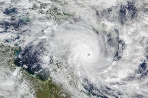
In the overnight hours of July 6, 2008, Tropical Storm Bertha matured into the first hurricane of the 2008 Atlantic season. Far from land, the storm posed little threat, but it was record-breaking nevertheless. Since reliable records began in the 1940s, no hurricane has ever formed so far east before August 1.
This natural-color image of Hurricane Bertha was captured by the Moderate Resolution Imaging Spectroradiometer (MODIS) on NASA’s Terra satellite on July 9, 2008, at 14:45 UTC (10:45 a.m. Eastern Daylight Time). Shortly after, the National Hurricane Center estimated that Bertha was a Category 1 storm, with maximum sustained wind speeds of 75 miles per hour. Bertha was compact when MODIS observed it, a small ball of clouds with a long line of thunderstorms trailing away to the southeast. The eye of the storm had clouded over.
Bertha spun up from a tropical depression that coalesced near the Cape Verde Islands in the first week of July. By the early morning hours of July 7, it had become a Category 1 hurricane, and less than 12 hours later had intensified to Category 3 status, with winds near 115 mph. Two days later, when this image was captured, the storm had weakened to Category 1, but was forecast to re-intensify.
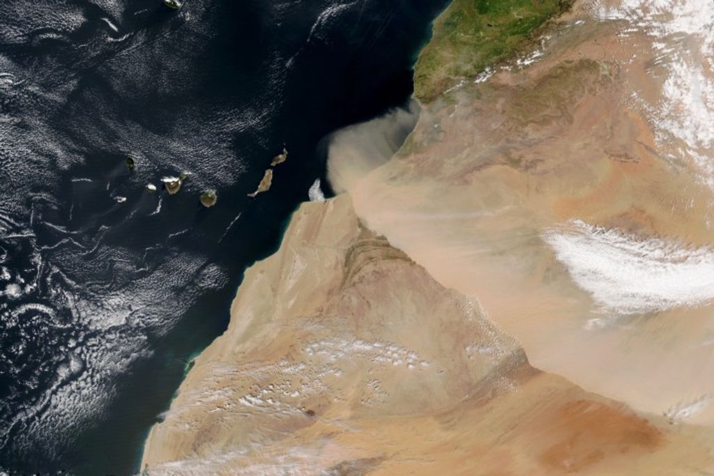
Bertha was a “Cape Verde” storm, a tropical storm that starts near the Cape Verde Islands when a wavelike kink in the tropical easterlies over Africa ripples out over the ocean. These kinks, known as tropical waves, help start the large-scale rotation of clusters of thunderstorms that will lead to a cyclone. Early in the season, these waves are weaker, and sea surface temperatures are cooler, and so it usually takes many days for any Cape Verde storms that form to intensify into hurricanes—and all the while they are drifting west. Bertha transformed into a major hurricane very rapidly, and thus, farther east than is usual for July.
References & Resources
NASA image created by Jesse Allen, using data provided courtesy of the MODIS Rapid Response team. Caption by Rebecca Lindsey.

