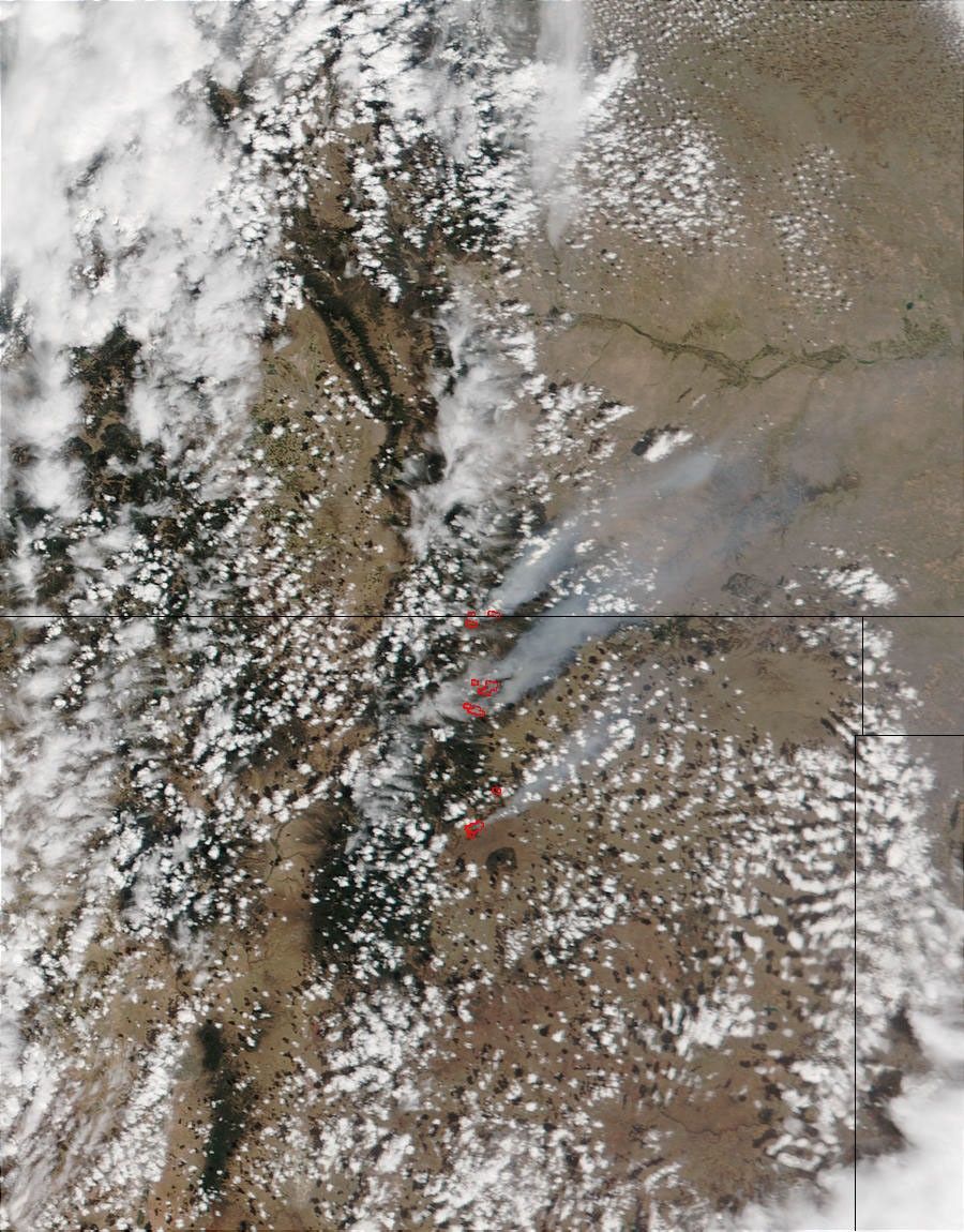


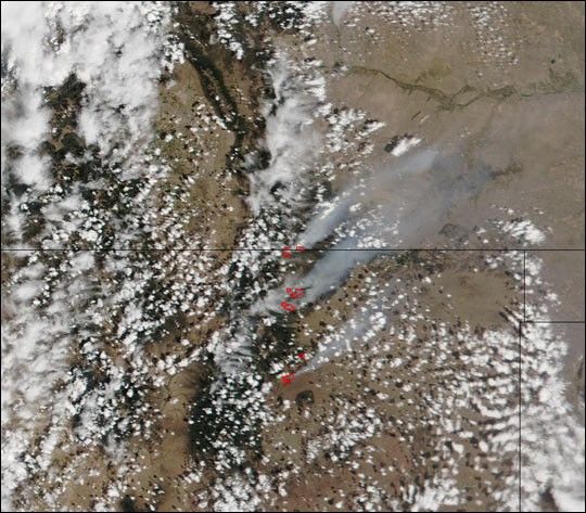
On June 3, 2002, New Mexico firefighters were battling multiple large wildfires in the Sangre de Cristo Mountains in the north-central part of the state. This image from the Moderate Resolution Imaging Spectroradiometer (MODIS) on the Terra satellite shows (north to south) the Trinidad complex at the Colorado-New Mexico border, the Middle Ponil Complex Fire, the Bonita Fire, and the Cerro Pelado Fire. The Bonita and Cerro Pelado Fires are fully contained; however the Middle Ponil Complex Fire was 60,000 acres and spreading as of June 6, with no estimate of when it might be contained. The Trinidad Complex was 20,000 acres, and still very active.
Please note that the high-resolution scene provided here is 500 meters per pixel. For a copy of the scene at the sensor's fullest resolution, visit the MODIS Rapid Response Image Gallery.
References & Resources
Image courtesy Jacques Descloitres, MODIS Land Rapid Response Team at NASA GSFC