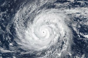
















The Geostationary Operational Environmental Satellite 15 (GOES-15) captured this image of one typhoon (Kilo), one hurricane (Jimena), one tropical storm (Ignacio), and one tropical depression (Fourteen E) churning simultaneously in the Pacific Ocean at 15:00 Universal Time on September 2, 2015. All of these storms are tropical cyclones at various stages of maturity. None of them currently threaten land.
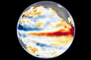
Earlier this week, the three stronger storms (Kilo, Jimena, and Ignacio) made history as they paraded across the Pacific Ocean at Category 4 strength. The ongoing El Niño—a complex weather pattern characterized by warm sea surface temperatures in the central and east-central Pacific—is encouraging tropical cyclone development in the Pacific basin even as it inhibits storms in the Atlantic basin.
References & Resources
- NASA (2015) Hurricane and Tropical Storms. Accessed September 2, 2015.
- NASA Earth Observatory (2015) Trio of Hurricanes Over the Pacific Ocean.
- NOAA (2014, May 30) Impacts of El Niño and La Niña on the hurricane season. Accessed September 2, 2015. Accessed September 2, 2015.
- Unisys (2015) 2015 Hurricane/Tropical Data for Eastern Pacific. Accessed 2, 2015.
NASA Earth Observatory image by Jesse Allen with data courtesy of the NASA/NOAA GOES Project Science team. Caption by Adam Voiland.