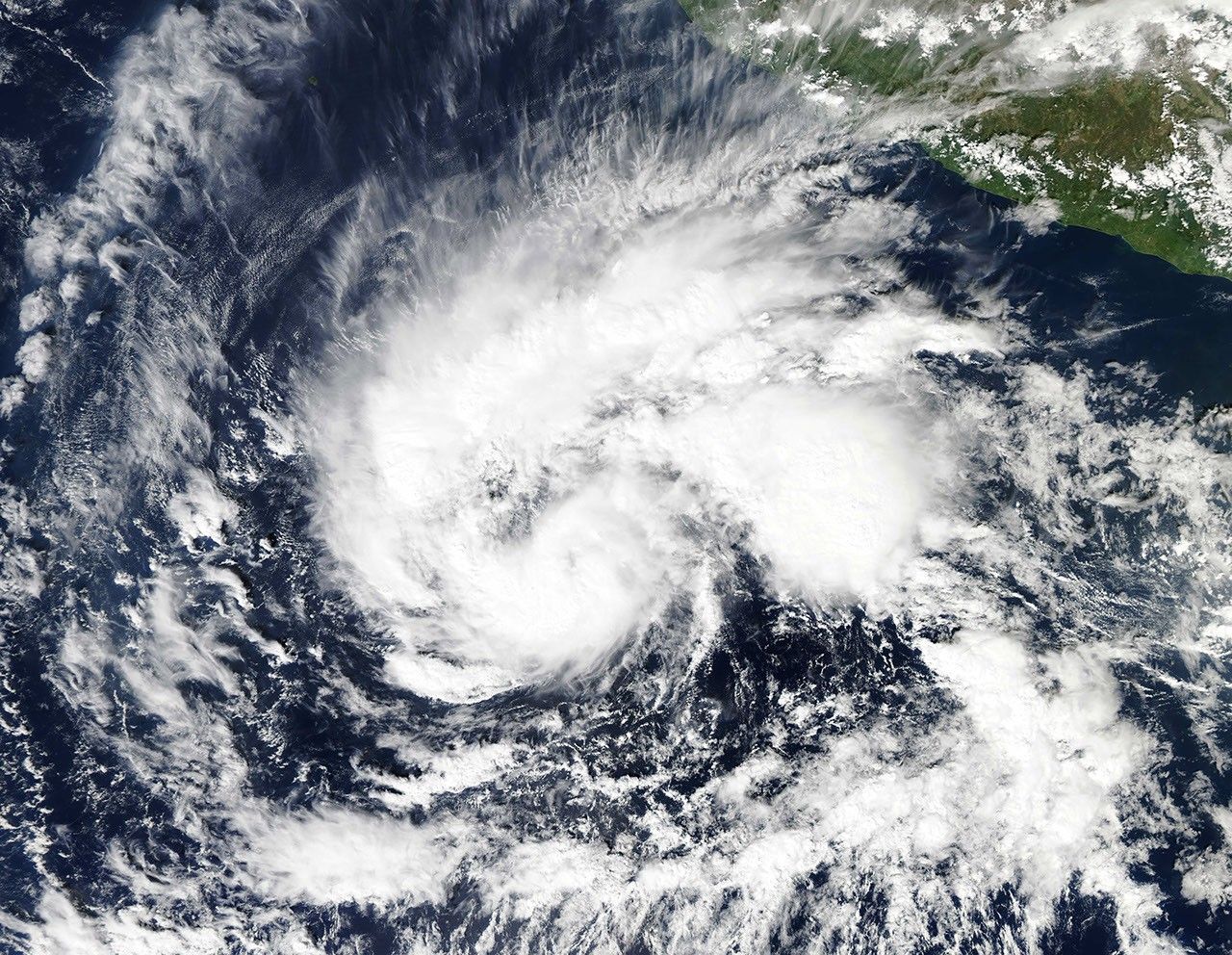


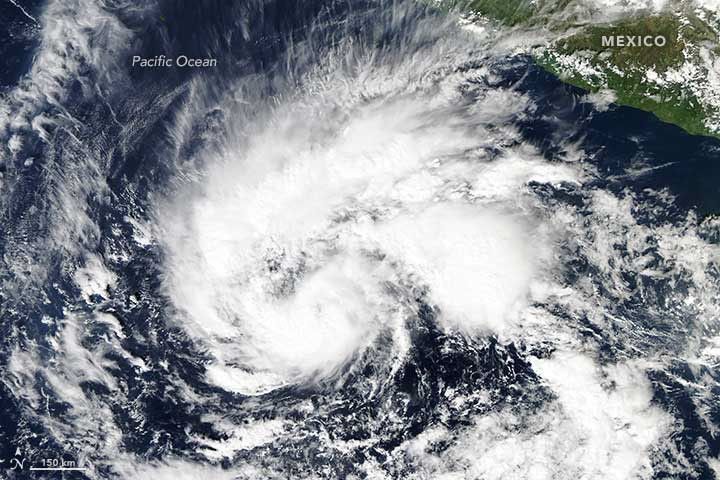
At 1:35 p.m. Mountain Standard Time (20:35 Universal Time) on November 24, 2015, the Moderate Resolution Imaging Spectroradiometer (MODIS) on NASA’s Aqua satellite acquired this view of Tropical Storm Sandra over the eastern Pacific Ocean.
When the image was acquired, Sandra was a tropical storm moving toward the west-northwest with maximum sustained winds of at least 90 kilometers (60 miles) per hour. Satellite imagery at the time suggested that Sandra was strengthening rapidly.
By November 25, Sandra strengthened into a category 2 hurricane, with maximum sustained winds of 160 kilometers (100 miles) per hour. According to the National Hurricane Center, this intensity makes Sandra the strongest hurricane recorded in the eastern North Pacific this late in a year.
References & Resources
- National Weather Service, National Hurricane Center (2015, November 25) Hurricane SANDRA. Accessed November 25, 2015.
- National Weather Service, National Hurricane Center (2015, November 24) Tropical Storm SANDRA. Accessed November 25, 2015.
- Unisys Weather (2015, November 25) Hurricane-2 SANDRA. Accessed November 25, 2015.
NASA images by Jeff Schmaltz, LANCE/EOSDIS Rapid Response . Caption by Kathryn Hansen.