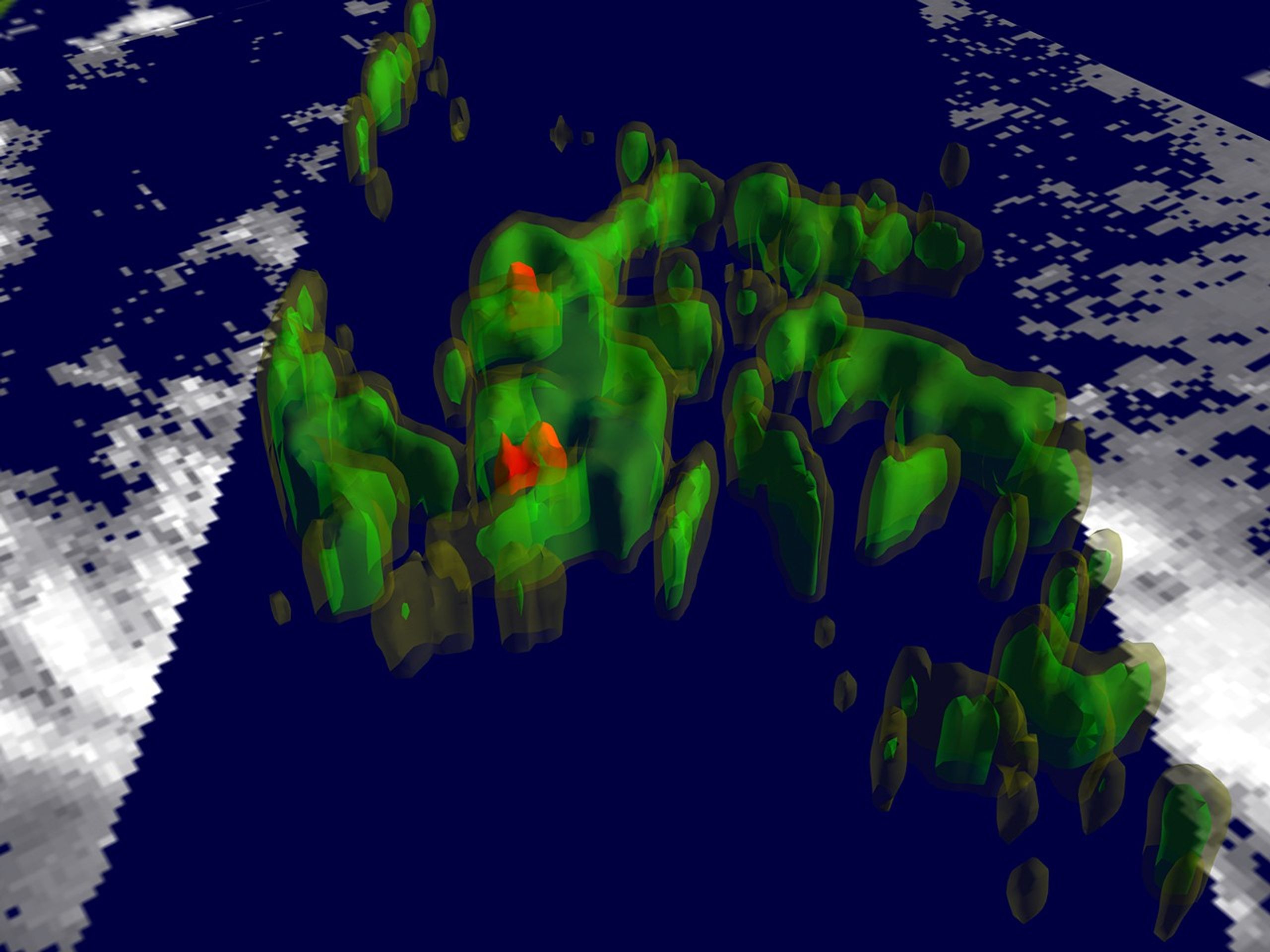

Tropical Storm Kenna was born over the eastern North Pacific Ocean and in this image is positioned 370 miles south of Acapulco, Mexico. Maximum sustained winds were close to 40 mph, and the storm was headed towards the west-northwest at 12 mph.
This Tropical Rainfall Measuring Mission (TRMM) satellite image was captured on October 22 and reveals the rain structure as measured by the TRMM Microwave Imager (TMI). The yellow isosurface represents areas where at least 0.5 inches of rain fell per hour. Green shows at least 1.0 inch of rain, and red depicts more than 2.0 inches of rain per hour.
A 3.6 MB MPEG animation is also available.
References & Resources
Image courtesy of Jeff Halverson, TRMM Outreach Scientist and Lori Perkins, Scientific Visualization Studio , both from NASA Goddard Space Flight Center.