November 5, 2019
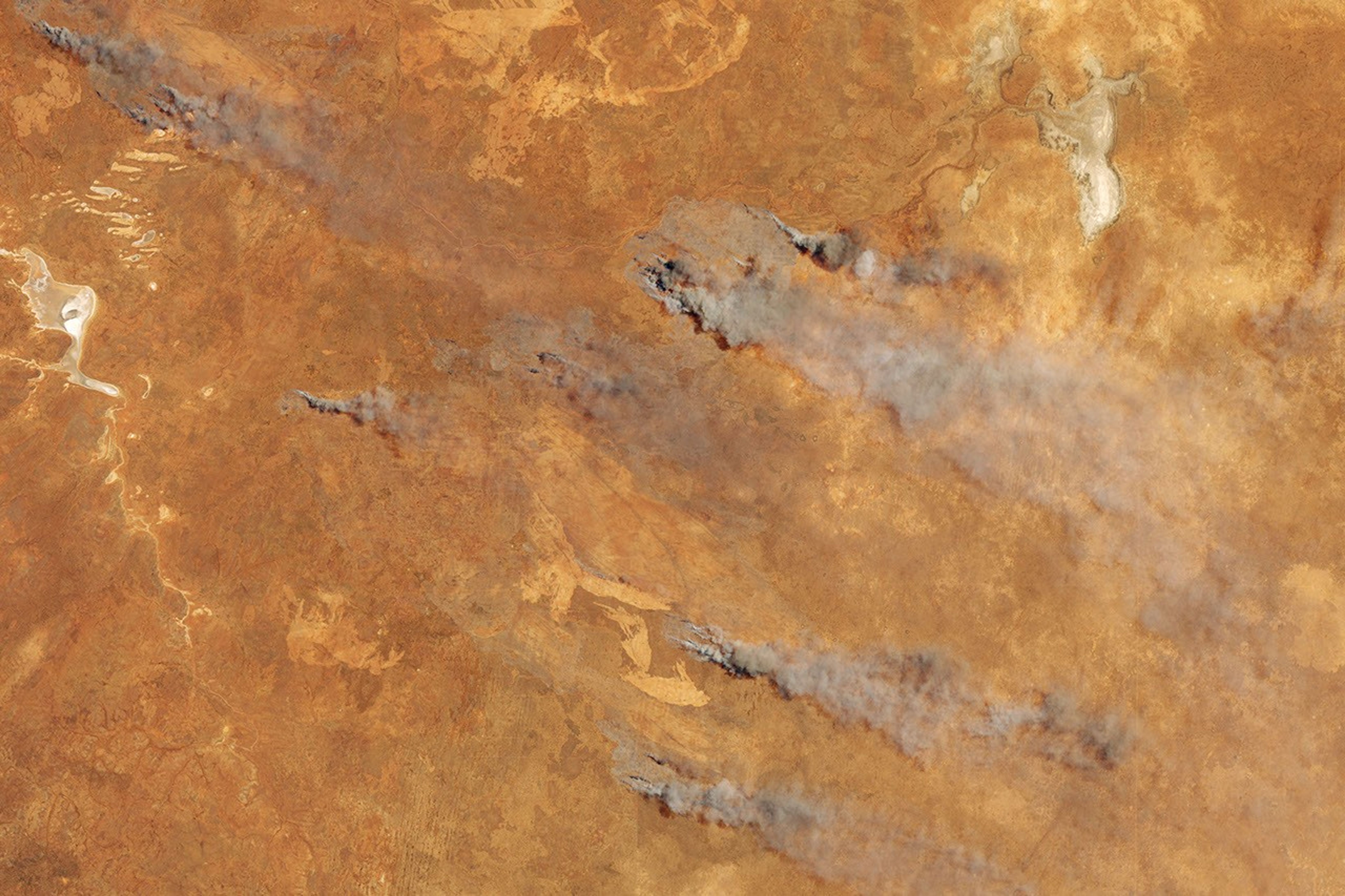
On November 5, 2019, the Operational Land Imager (OLI) on Landsat 8 acquired this natural-color image of fire and smoke in southern Western Australia. The fire burned in the Goldfields region, about 230 kilometers northeast of Norseman.
The fire follows what has been a dry winter and spring, leaving vegetation prone to burning and the fire danger high. Experts say the dryness is a result of the Indian Ocean Dipole, which can affect rainfall and temperatures across Australia.
References & Resources
- Australian Government Bureau of Meteorology (2019, November 5) Western Australia Fire Danger Ratings. Accessed November 4, 2019.
- The Conversation (2019, August 29) The winter was dry, the spring will likely be dry—here’s why Accessed November 4, 2019.
NASA Earth Observatory image by Lauren Dauphin, using Landsat data from the U.S. Geological Survey . Text by Kathryn Hansen .