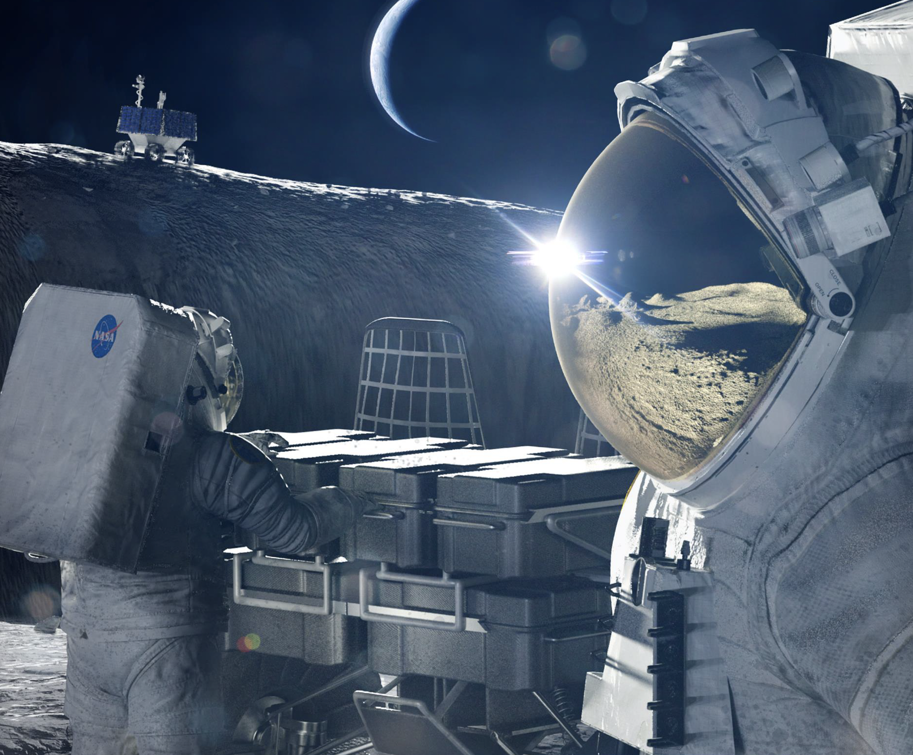
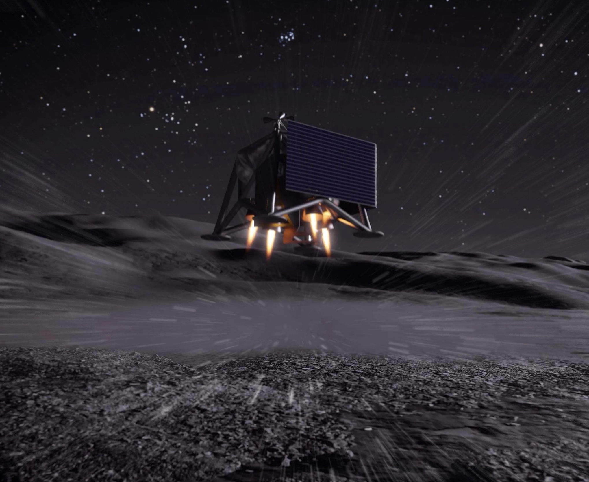
![Request for Information – Potential [Placeholder for Prize]](https://assets.science.nasa.gov/dynamicimage/assets/science/psd/solar/2023/09/s/solarsystem_0.jpg?w=1024)


Landsat 8
Filters

The color of Adélie penguin droppings reveals what the birds are eating, offering scientists a way to track how sea…
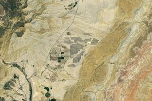
Utah’s new solar power and battery storage facility is among the largest in the region.
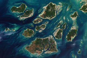
The expansive mudflats, sandy beaches, and mangrove forests of the Bijagós archipelago support an array of migratory shorebirds and large…

Orange streams are now being spotted in hundreds of watersheds in permafrost areas throughout Alaska’s Brooks Range.

The blaze burned more than 150 square miles and swept through parts of a ski resort.

Using satellite data, researchers connected harmful algal blooms with warm water and low water levels at one of Colorado's largest…

It was here the founders shaped the future of American government.
The colonial communities of “America’s historic triangle” played defining roles in the road to American independence.
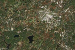
Sites relevant to the start of the American Revolutionary War are interspersed throughout the modern-day Boston metropolitan region.