


























Suggested Searches

1 min read

Typhoon Parma

Instruments:
Typhoon Parma
October 23, 2003

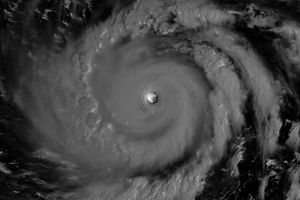
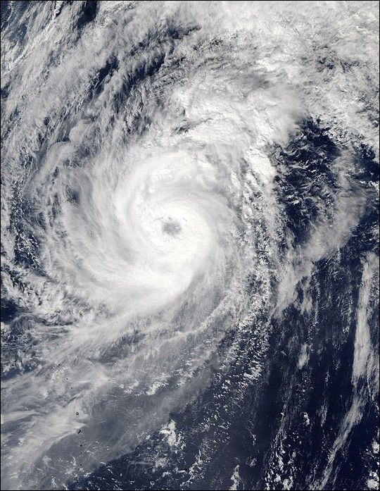
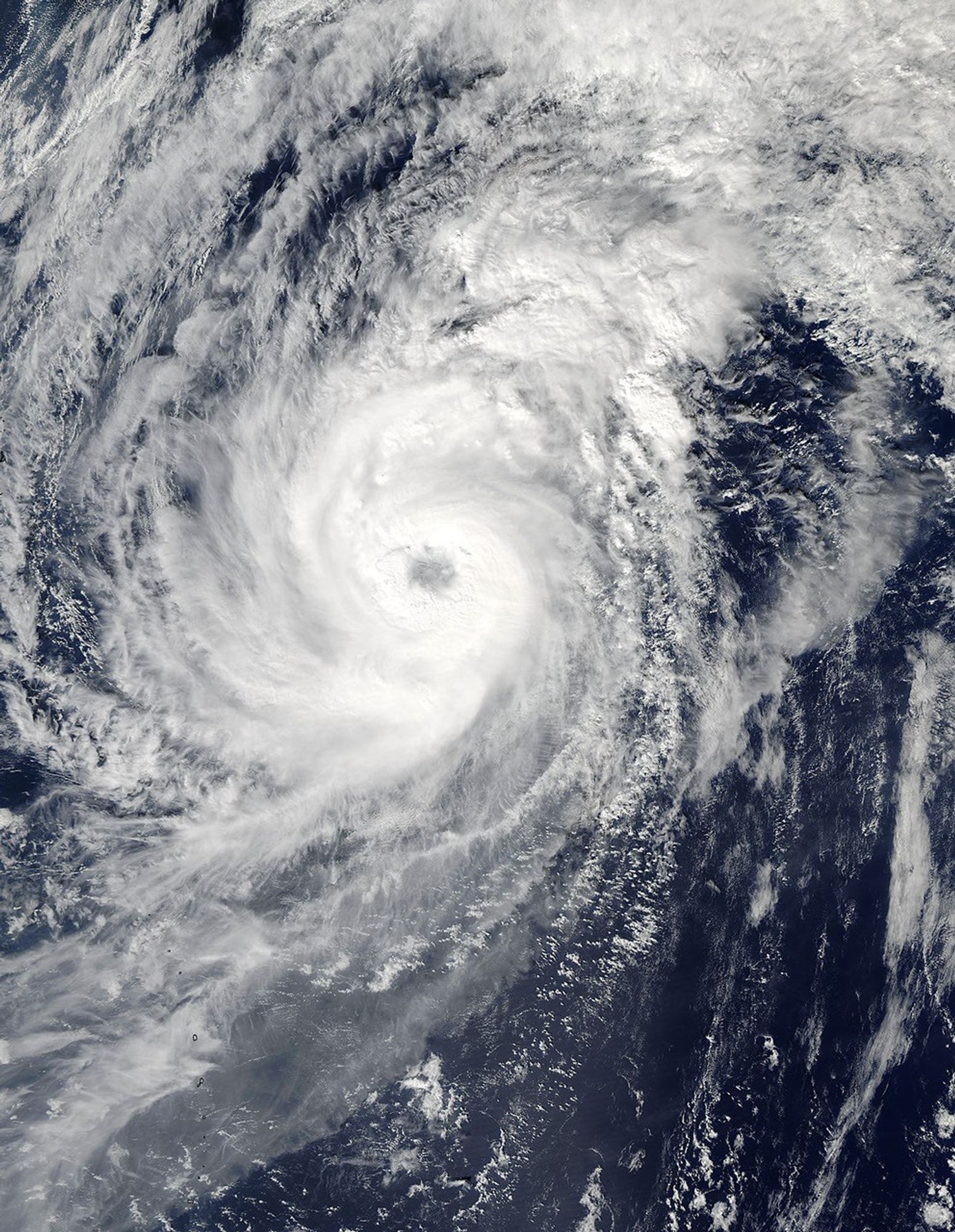
The MODIS instrument onboard NASA’s Aqua satellite captured this bird’s-eye view of Typhoon Parma churning in the western Pacific Ocean. With top sustained winds near 100 mph, Parma was centered 540 miles to the east of Iwo Jima and was moving toward the northeast at 14 mph.

References & Resources

Image courtesy Jeff Schmaltz, MODIS Land Rapid Response Team at NASA GSFC.
You may also be interested in:

Stay up-to-date with the latest content from NASA as we explore the universe and discover more about our home planet.

Super Typhoon Bavi
3 min read

The third category 5 tropical cyclone of 2026 crossed the U.S. Northern Mariana Islands and Guam before continuing toward Asia.

Article
Sizing Up the Sargassum Belt
6 min read

Seaweed composing the Great Atlantic Sargassum Belt hit near-record levels in June 2026, with the Caribbean Sea and Gulf of…

Article
Typhoon Jangmi
2 min read

The sprawling storm promised to deliver torrential rain across a wide swath of southern Japan.

Article