






Suggested Searches

1 min read

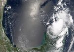
Tropical Storm Bonnie

Instruments:
2004-08-09 00:00:00
August 9, 2004

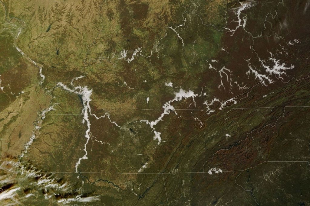
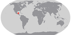
The MODIS instrument onboard NASA Terra satellite captured this true-color image of Tropical Storm Bonnie on August 9th at 1:00 PM EDT (17:00 UTC). At the time this image was taken, Bonnie was just beginning to exhibit signs of tropical storm development and had maximum sustained winds around 40 mph.

References & Resources

Image courtesy Jesse Allen, NASA's Earth Observatory .
You may also be interested in:

Stay up-to-date with the latest content from NASA as we explore the universe and discover more about our home planet.

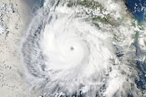
Explosive Intensification for Hurricane Polo
5 min read

Several ingredients came together off the Pacific coast of Mexico to generate one of the strongest storms the eastern Pacific…

Article
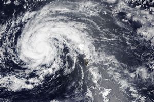
Lala Batters Hawaii
3 min read

The powerful storm delivered extreme rainfall and damaging winds to the state, passing the Island of Hawaiʻi as a category…

Article
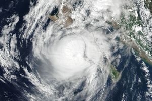
Powerful Storms Continue to Prowl the Pacific
4 min read

Hurricanes Polo and Nolo sent destructive effects ashore amid an active season in the northeastern and central Pacific.

Article