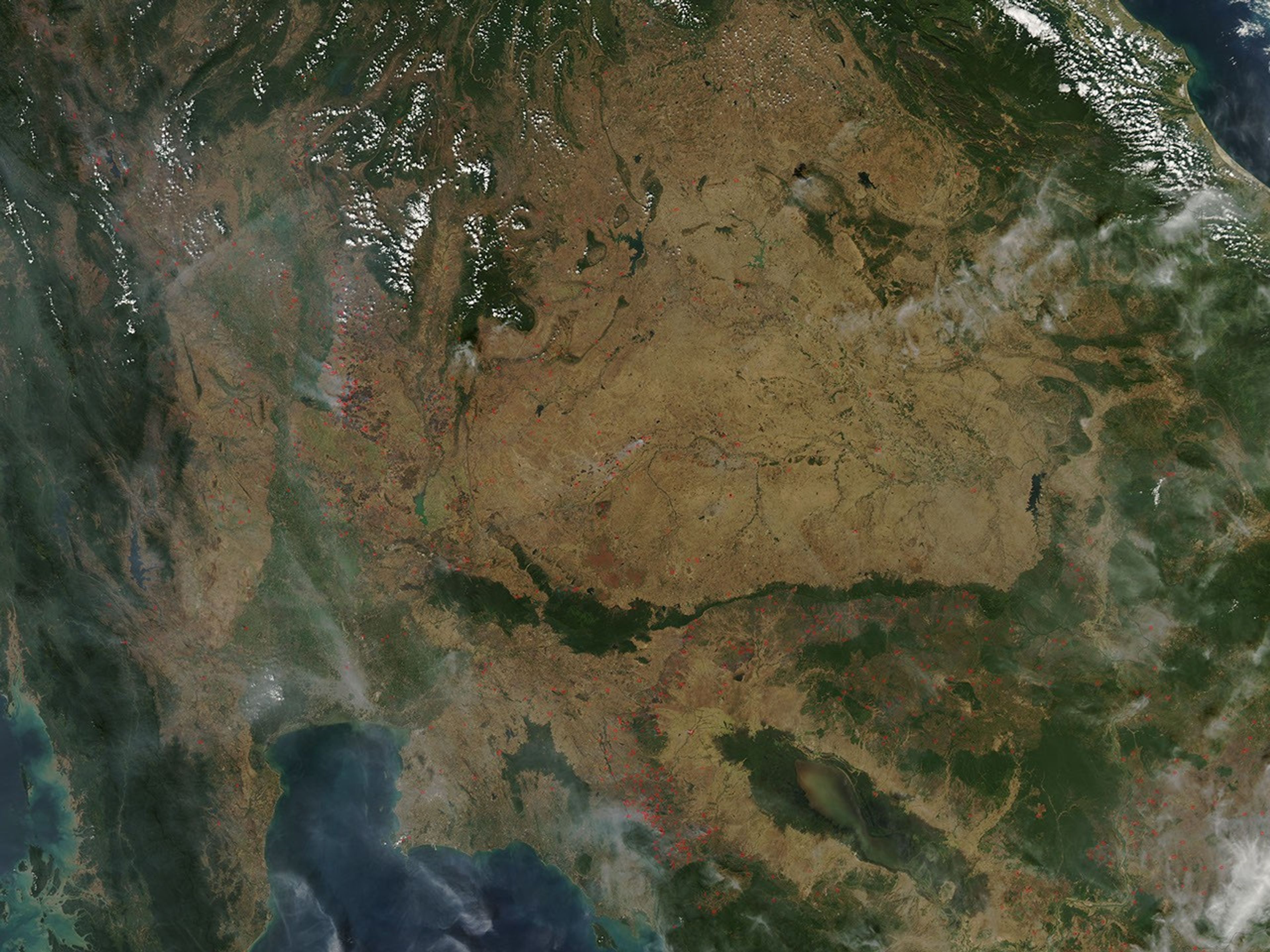
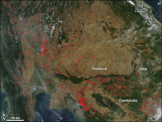
Seasonal agricultural burning continued to intensify across Southeast Asia on December 26, 2004. In this image from the Moderate Resolution Imaging Spectroradiometer (MODIS) on NASA’s Terra satellite, the locations of actively burning fires across Thailand, Cambodia, and Laos are marked with red dots. Two particularly concentrated areas of burning are visible. One is in the northern part of the broad river valley in western Thailand, at image left. The other is to the west of the Tônlé Sap (a large lake that quintuples in size during the wet phase of the monsoon) in Cambodia.
The widespread nature of the fires, their location (generally located away from remaining natural vegetation, which appears deeper green), and the time of year suggest that these fires are being set intentionally for agricultural purposes. Though not necessarily immediately hazardous, such large-scale burning can have a strong impact on weather, climate, human health, and natural resources.
References & Resources
NASA image courtesy the MODIS Rapid Response Team, NASA-Goddard Space Flight Center