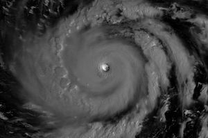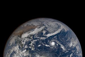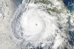











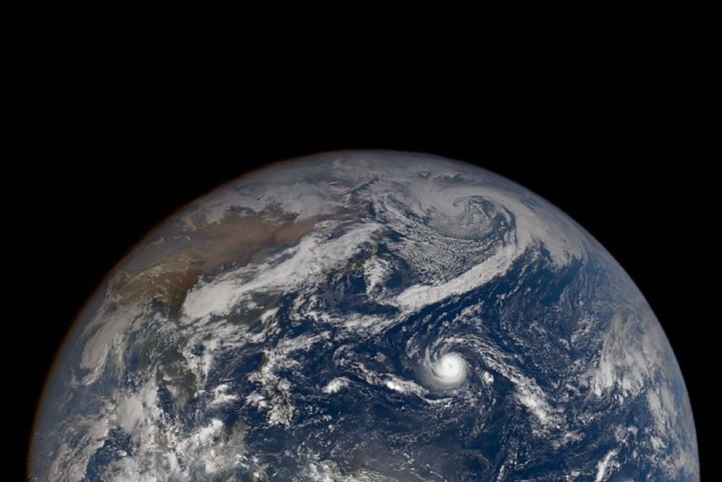






Typhoon Songda strengthened between May 24 and 25, 2011. At 11:00 p.m. Manila time (15:00 UTC) on May 25, the U.S. Navy’s Joint Typhoon Warning Center (JTWC) reported that Songda had maximum sustained winds of 105 knots (195 kilometers per hour) with gusts up to 130 knots (240 kilometers per hour). These wind speeds were up from 65 knots and gusts up to 80 knots the previous day. The storm was located roughly 385 nautical miles (730 kilometers) east-southeast of Manila, Philippines.
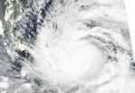
The Moderate Resolution Imaging Spectroradiometer (MODIS) on NASA’s Aqua satellite captured this natural-color image of Songda on May 25, 2011. Songda sports a discernible eye, and its clouds span hundreds of kilometers, covering parts of the Philippines.
According to the JTWC warning issued May 25, Songda was expected to travel toward the north-northwest along the northern Philippines before turning northeast roughly east of Taiwan. As of May 25, Songda’s wind speeds were expected to increase over the next 48 hours.
References & Resources
- Joint Typhoon Warning Center. (2011, May 25). Typhoon 04W (Songda) Warning. Accessed May 25, 2011.
NASA image courtesy MODIS Rapid Response Team at NASA GSFC. Caption by Michon Scott.