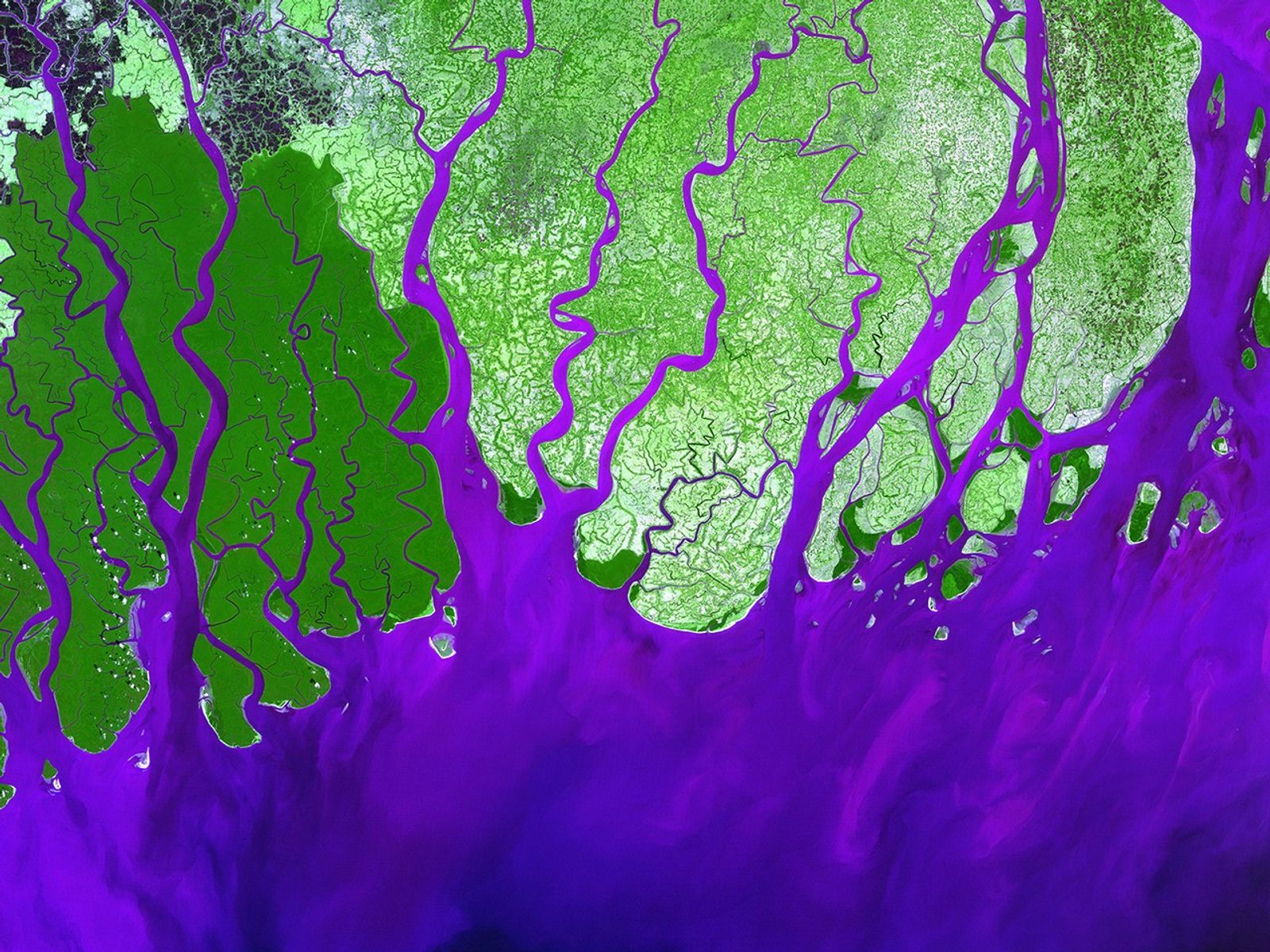
Ganges River Delta
| Credit | Image provided by the USGS EROS Data Center Satellite Systems Branch. Caption adapted from text provided by NASA's Earth Observatory. Source: NASA/USGS Landsat 7; NASA Earth Observatory. |
|---|---|
| Language |
|
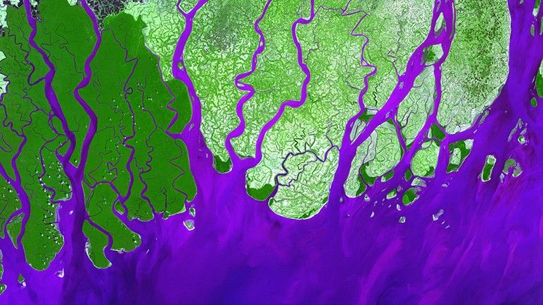
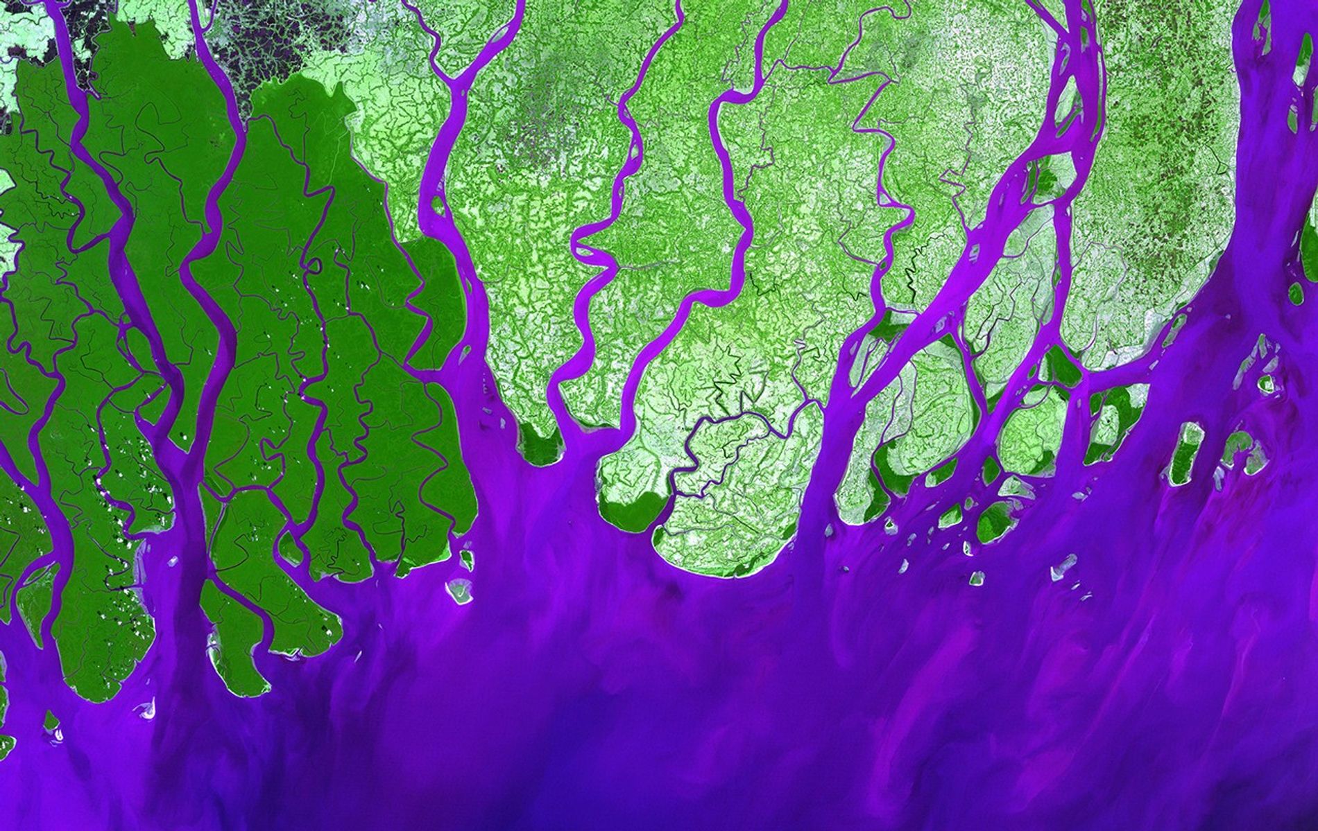
The Ganges River forms an extensive delta where it empties into the Bay of Bengal. The delta, largely covered with a swamp forest, is home to most of Bangladesh, one of the world’s most densely populated countries and a nation that is particularly vulnerable to climate change. As the climate changes, low-lying Bangladesh will increasingly face issues such as food insecurity, sea level rise and more frequent and intense extreme weather events. About 120 million people live on the Ganges Delta under the threat of repeated catastrophic floods due to heavy runoff of meltwater from the Himalayas and due to the intense rainfall during the monsoon season.
This image was acquired by the Landsat 7 satellite on February 28, 2000. It is a false-color composite image made using green, infrared, and blue wavelengths.


