Climate Change Stories
Filters
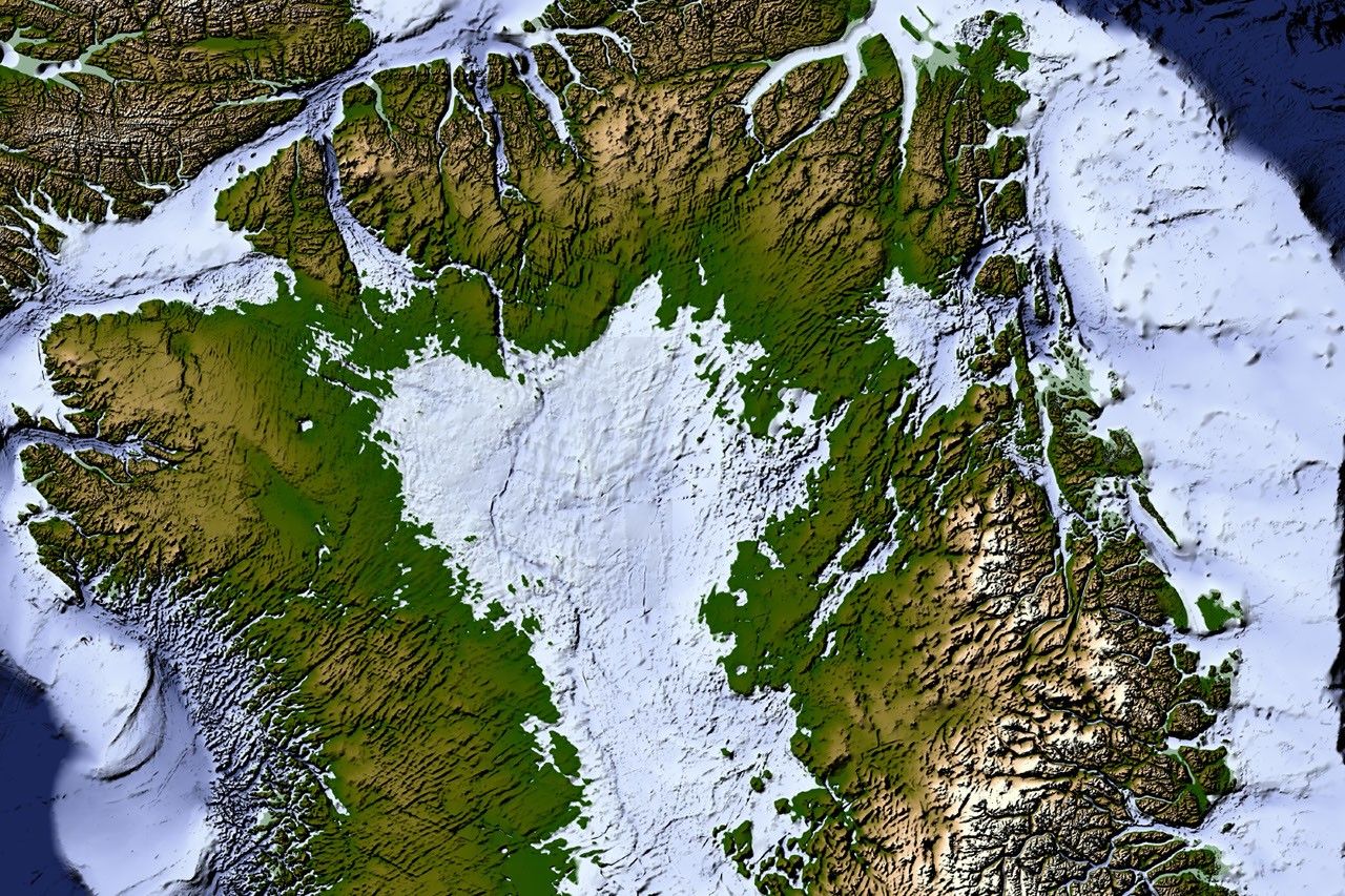
A new map of the terrain beneath the Greenland Ice Sheet links hundreds of valleys that previous maps missed or left fragmented.
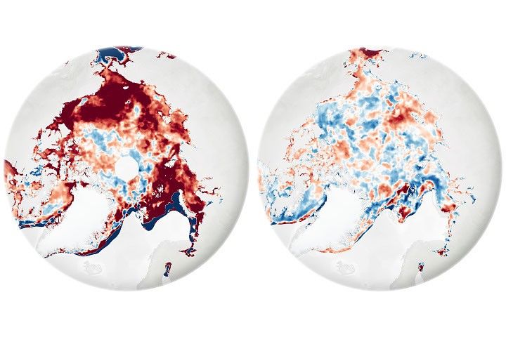
While the sea ice melt season has lengthened dramatically in most of the satellite era, the trend unexpectedly stabilized around 2010.
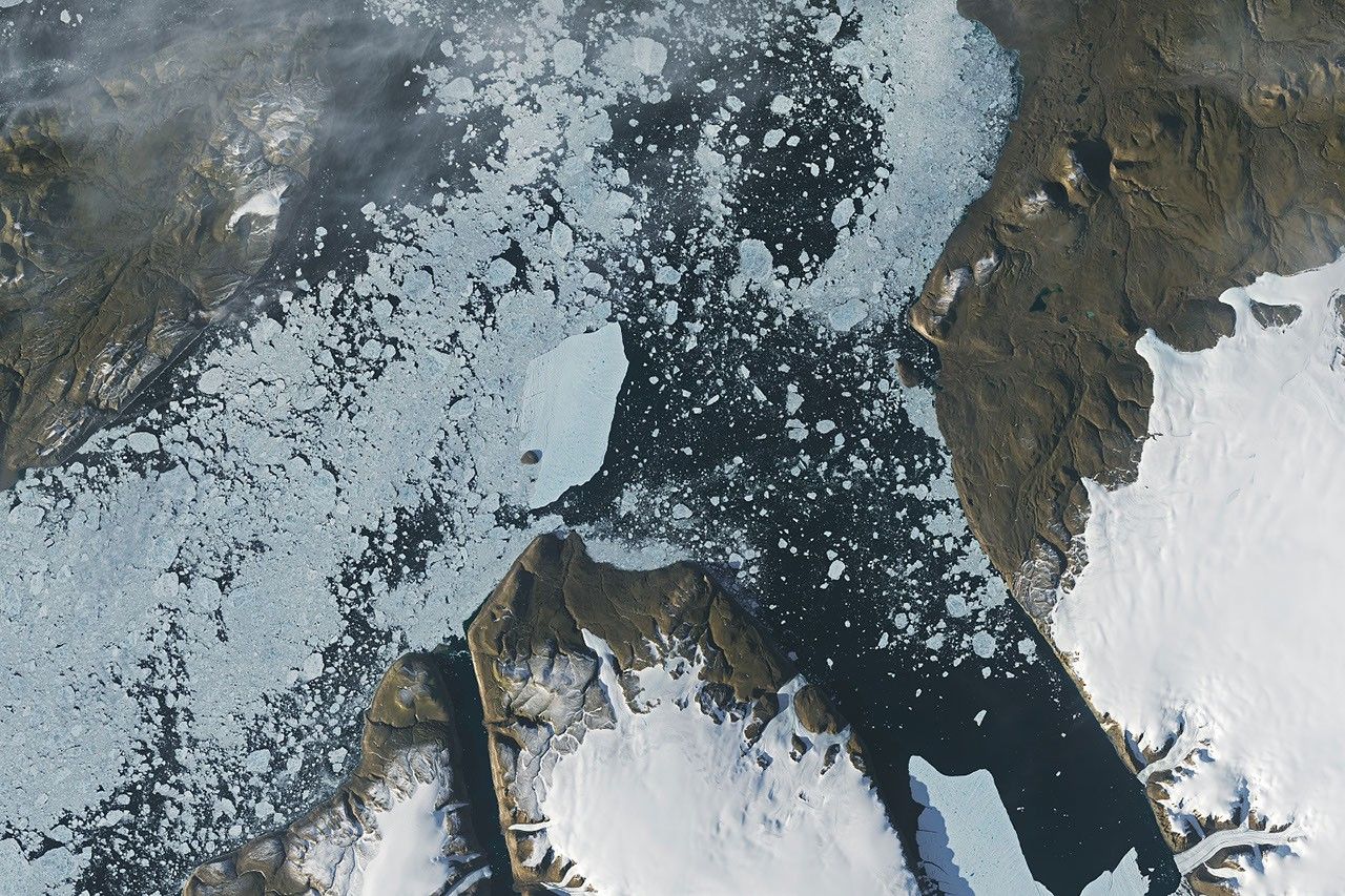
In summer 2026, a substantial iceberg calved from Petermann Glacier in northwest Greenland and swiftly drifted into Nares Strait, colliding with an island along the way.
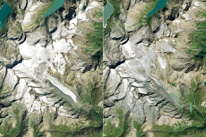
One narrowing icefall remains the linchpin for the Alpine glacier—and it may not be long for this world.
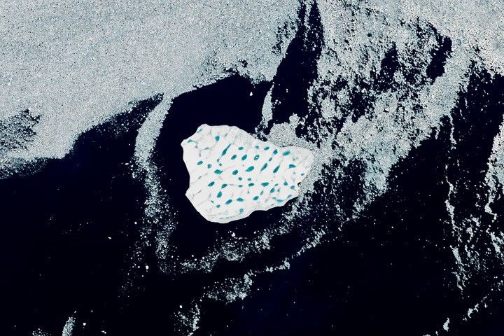
A large iceberg, observed in summer 2026, had drifted more than 1,000 kilometers south from the northeastern Greenland bay where it likely originated.
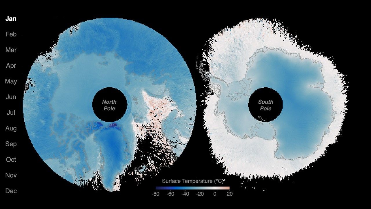
New animations from NASA's PREFIRE mission reveal two years of seasonal temperature swings at the Arctic and Antarctic.
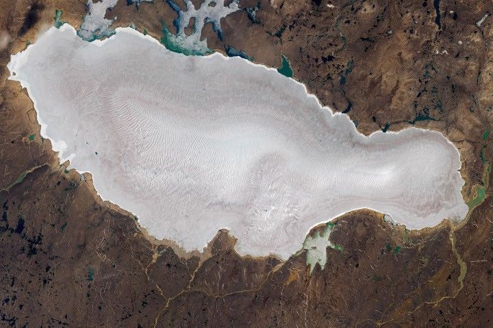
The expanse of glacial ice on Canada’s Baffin Island lost its snow cover quickly and early in summer 2026, revealing a network of melt features.
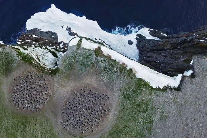
The color of Adélie penguin droppings reveals what the birds are eating, offering scientists a way to track how sea ice conditions influence their diet.
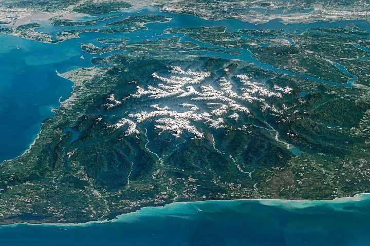
Snow-capped mountains carved by deep river valleys preside over northwestern Washington state.

As of July 20, the public can access data from the two powerful radar instruments aboard the NISAR (NASA-ISRO Synthetic Aperture Radar) satellite. Teams in the United States and India will release files processed from the satellite’s L-band and S-band…